|
search place name
|
||
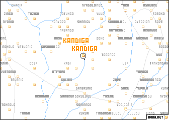
Kandiga (Ghana)Kandiga is a town in Ghana. An overview map of the region around Kandiga is displayed below.
regional and 3d topo map of Kandiga, Ghana ::
Kandiga airports ::
The nearest airport is TML - Tamale, located 146.9 km south of Kandiga.
Other airports nearby include OUA - Ouagadougou (174.4 km north), Nearby towns ::
Gamborongo (1.8km east) //
Agushi (2.6km south east) //
Nyarega (2.6km south east) //
Gamborongo (2.6km north east) //
Akamo (2.6km south west) //
Kandiga (2.6km north west) //
Kanga (3.7km north) //
Kasi (4.1km south west) //
Bembisi (4.1km north west) //
Longo (4.1km north west) //
Zoko (5.2km north east) //
Tarongo (5.5km east) //
Kawlogo (5.9km south) //
Atiyoro (6.6km south west) //
Nabango (6.6km north west) //
Mirigu (6.6km north west) //
Awa (6.6km north east) //
Kulbia (6.6km south west) //
Sambruno (7.4km south) //
Amogorebisi (7.4km south) //
Sherigu (7.4km north) //
Kasanongo (7.5km west) //
Go (7.8km north east) //
Akunkongu (7.8km south west) //
Nyarega (7.8km south east) //
Kadare (8.3km north east) //
Anieregu (8.3km north west) //
Nayorogo (9.2km north east) //
Zare (9.2km south east) //
[all distances 'as the bird flies' and approximate] 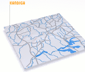 Places with similar names to Kandiga, Ghana ::
Disclaimer :: Information on this page comes without warranty of any kind |
||
|
Where is Kandiga? Elevation and coordinates ::
Latitude (lat): 10°53'0"N Longitude (lon): 0°56'0"W
Elevation (approx.): 182m (map arrows pan, magnifying glasses zoom) |
||
|
Visiting Kandiga? Hotel/Accommodation ::
Book a hotel in Kandiga Travel Guide ::
Buy a travel guide for Ghana rental cars ::
car rental offers GPS waypoint ::
download a GPX waypoint (PoI) of Kandiga for your GPS receiver
|
||