|
search place name
|
||
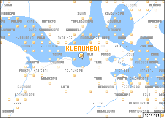
Klenumedi (Ghana)Klenumedi is a town in Ghana. An overview map of the region around Klenumedi is displayed below.
regional and 3d topo map of Klenumedi, Ghana ::
Klenumedi airports ::
The nearest airport is ACC - Accra Kotoka Intl, located 77.2 km south west of Klenumedi.
Other airports nearby include LFW - Lome Gnassingbe Eyadema Intl (97.5 km east), Nearby towns ::
Batawkobnakope (1.9km south) //
Nyafawkope (1.9km south) //
Jadankaw (1.8km west) //
Vomi (1.9km north) //
Bla (1.8km east) //
Bokwemi (2.6km north west) //
Aveyime (2.6km north west) //
Dotokofe (2.6km north west) //
Mania (2.6km north east) //
Kekwo (2.6km north east) //
Chechepwe (2.6km north east) //
Ngunukope (4.1km south west) //
Klodosukofe (4.1km north west) //
Tehe (4.1km south east) //
Fremoko (4.1km north west) //
Kuve (4.1km north east) //
Lasivenu (4.1km north east) //
Nwanlikpoe (4.1km north east) //
Nyatikpo (5.2km north west) //
Bator (5.2km north east) //
Batowuguji (5.6km north) //
Memonya (5.5km west) //
Pongo (5.5km east) //
Tokpo (5.5km west) //
Agbetipo (5.5km west) //
Kanoweli (5.9km north) //
Chunkpo (5.8km west) //
Awukujekofe (5.9km north) //
Dekpwe (5.8km east) //
[all distances 'as the bird flies' and approximate] 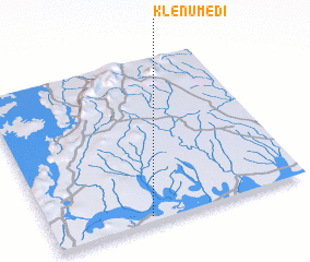 Places with similar names to Klenumedi, Ghana ::
Disclaimer :: Information on this page comes without warranty of any kind |
||
|
Where is Klenumedi? Elevation and coordinates ::
Latitude (lat): 6°2'0"N Longitude (lon): 0°23'0"W
Elevation (approx.): 8m (map arrows pan, magnifying glasses zoom) |
||
|
Visiting Klenumedi? Hotel/Accommodation ::
Book a hotel in Klenumedi Travel Guide ::
Buy a travel guide for Ghana rental cars ::
car rental offers GPS waypoint ::
download a GPX waypoint (PoI) of Klenumedi for your GPS receiver
|
||