|
search place name
|
||
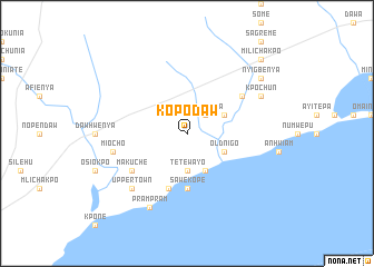
Kopodaw (Ghana)Kopodaw is a town in Ghana. An overview map of the region around Kopodaw is displayed below.
regional and 3d topo map of Kopodaw, Ghana ::
Kopodaw airports ::
The nearest airport is ACC - Accra Kotoka Intl, located 39.4 km south west of Kopodaw.
Other airports nearby include LFW - Lome Gnassingbe Eyadema Intl (130.0 km east), TKD - Takoradi (234.1 km south west), Nearby towns ::
Tekpanya (2.6km north east) //
Tetewayo (3.7km south) //
Jenahaw (4.1km north east) //
Old Nigo (4.1km south east) //
New Nigo (4.1km south east) //
Sawekope (5.6km south) //
Abia (5.9km south) //
Tenkpobo (5.9km south) //
Buaku (6.7km north east) //
Makuche (6.7km south west) //
Miocho (7.6km west) //
Upper Town (7.8km south west) //
Lower Town (8.3km south west) //
Prampram (8.3km south west) //
Kpochun (8.3km north east) //
Nyigbenya (9.2km north east) //
Milichakpo (10.5km north east) //
[all distances 'as the bird flies' and approximate] 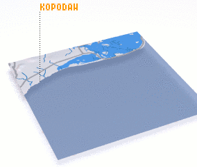 Places with similar names to Kopodaw, Ghana ::
Disclaimer :: Information on this page comes without warranty of any kind |
||
|
Where is Kopodaw? Elevation and coordinates ::
Latitude (lat): 5°46'0"N Longitude (lon): 0°9'0"W
Elevation (approx.): 24m (map arrows pan, magnifying glasses zoom) |
||
|
Visiting Kopodaw? Hotel/Accommodation ::
Book a hotel in Kopodaw Travel Guide ::
Buy a travel guide for Ghana rental cars ::
car rental offers GPS waypoint ::
download a GPX waypoint (PoI) of Kopodaw for your GPS receiver
|
||