|
search place name
|
||
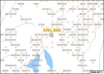
Kpelaho (Ghana)Kpelaho is a town in Ghana. An overview map of the region around Kpelaho is displayed below.
regional and 3d topo map of Kpelaho, Ghana ::
Kpelaho airports ::
The nearest airport is LFW - Lome Gnassingbe Eyadema Intl, located 72.1 km east of Kpelaho.
Other airports nearby include ACC - Accra Kotoka Intl (115.9 km south west), COO - Cotonou Cadjehoun (195.7 km east), Nearby towns ::
Kutime (1.8km west) //
Chakpo (1.9km south) //
Didokogli (1.9km north) //
Agbakpekofe (2.6km north west) //
Avedzi (3.7km north) //
Sasekpe (3.7km south) //
Adope (3.7km east) //
Metefekofe (3.7km west) //
Djave (3.7km west) //
Kpeveko (3.7km west) //
Namakofe (4.1km north east) //
Gbadagokofe (4.1km north west) //
Aveta (4.1km north west) //
Kpodiwuro (4.1km south west) //
Gbedjeve (4.1km north west) //
Gidikpe Chegakofe (4.1km north east) //
Ados (4.1km south east) //
Hamanani (4.1km north east) //
Deveme (4.1km south east) //
Azanukofe (4.1km south west) //
Terafome (5.2km south east) //
Holukofe (5.2km south east) //
Hlave (5.2km north west) //
Havenu (5.2km south west) //
Koradekofe (5.6km north) //
Kpoyadji (5.5km east) //
Ahunkofe (5.5km west) //
Ablonu (5.9km north) //
Kirepo (5.8km east) //
[all distances 'as the bird flies' and approximate] 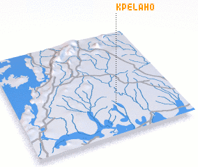 Places with similar names to Kpelaho, Ghana ::
// Kaupulehu (US)
Disclaimer :: Information on this page comes without warranty of any kind |
||
|
Where is Kpelaho? Elevation and coordinates ::
Latitude (lat): 6°18'0"N Longitude (lon): 0°37'0"W
Elevation (approx.): 75m (map arrows pan, magnifying glasses zoom) |
||
|
Visiting Kpelaho? Hotel/Accommodation ::
Book a hotel in Kpelaho Travel Guide ::
Buy a travel guide for Ghana rental cars ::
car rental offers GPS waypoint ::
download a GPX waypoint (PoI) of Kpelaho for your GPS receiver
|
||