|
search place name
|
||
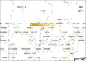
Kwamidurokrom (Ghana)Kwamidurokrom is a town in Ghana. An overview map of the region around Kwamidurokrom is displayed below.
regional and 3d topo map of Kwamidurokrom, Ghana ::
Kwamidurokrom airports ::
The nearest airport is NYI - Sunyani, located 88.4 km north west of Kwamidurokrom.
Other airports nearby include ACC - Accra Kotoka Intl (221.4 km south east), Nearby towns ::
Oseikrom (1.9km north) //
Suko (1.8km east) //
Masi (2.6km south east) //
Nsokwa Edukro (3.7km east) //
Abroma (3.7km east) //
Nyamibechere (4.1km north east) //
Wenchi (4.1km north west) //
Kankamkrom (4.1km south east) //
Amoaku (4.1km south east) //
Boamang (4.1km south east) //
Odukro (4.1km south west) //
Ajempra (5.2km south west) //
Asamankama (5.2km south west) //
Namong (5.5km west) //
Nsutem (5.6km south) //
Kwakudruyekrom (5.8km west) //
Brenyakrom (5.8km west) //
Amowi (5.8km west) //
Mpentembua (6.7km south east) //
Asumjwi (6.7km south east) //
Mpehi (6.6km south west) //
Dentin (6.6km south west) //
Kawkawti (6.6km south west) //
Masi (6.6km south west) //
Aboawso (6.6km south west) //
Tetrim (7.4km north) //
Ehiaminchini (7.4km east) //
Kokosachi (7.4km south) //
Obinibin (7.6km east) //
[all distances 'as the bird flies' and approximate] 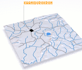 Places with similar names to Kwamidurokrom, Ghana :: Disclaimer :: Information on this page comes without warranty of any kind |
||
|
Where is Kwamidurokrom? Elevation and coordinates ::
Latitude (lat): 6°58'0"N Longitude (lon): 1°38'0"W
Elevation (approx.): 273m (map arrows pan, magnifying glasses zoom) |
||
|
Visiting Kwamidurokrom? Hotel/Accommodation ::
Book a hotel in Kwamidurokrom Travel Guide ::
Buy a travel guide for Ghana rental cars ::
car rental offers GPS waypoint ::
download a GPX waypoint (PoI) of Kwamidurokrom for your GPS receiver
|
||