|
search place name
|
||
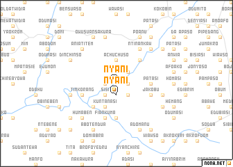
Nyani (Ghana)Nyani is a town in Ghana. An overview map of the region around Nyani is displayed below.
regional and 3d topo map of Nyani, Ghana ::
Nyani airports ::
The nearest airport is NYI - Sunyani, located 129.2 km north west of Nyani.
Other airports nearby include TKD - Takoradi (162.8 km south), ACC - Accra Kotoka Intl (191.1 km south east), Nearby towns ::
Adowa (1.8km west) //
Nkoduasi (1.8km east) //
Nyani (1.9km south) //
Sisi (2.6km south west) //
Adowa (2.6km south west) //
Atoalima (2.6km north east) //
Akutiasi (2.6km north east) //
Mopawta (2.6km south east) //
Achuchuso (3.7km north) //
Kuntanasi (4.1km south west) //
Akutuasi (5.2km south west) //
Brofoyedru (5.2km north east) //
Bawbu (5.6km south) //
Patasi (5.5km east) //
Fiankuma (5.9km south) //
Tinkorang (5.8km west) //
Jakobu (5.8km east) //
Ntinankaw (6.7km north east) //
Nsuta (7.6km north) //
Akawkawso (7.6km west) //
Akaserim (7.6km east) //
Humaben (7.8km south west) //
Aniatitem (7.8km north west) //
Afransi (7.8km north east) //
Dinchinso (8.2km north west) //
Owusu Ansakura (8.3km north west) //
Poanu (8.3km north east) //
Abotendua (8.3km south west) //
Adomanu (8.3km south east) //
[all distances 'as the bird flies' and approximate] 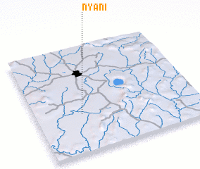 Places with similar names to Nyani, Ghana ::
Disclaimer :: Information on this page comes without warranty of any kind |
||
|
Where is Nyani? Elevation and coordinates ::
Latitude (lat): 6°22'0"N Longitude (lon): 1°43'0"W
Elevation (approx.): 167m (map arrows pan, magnifying glasses zoom) |
||
|
Visiting Nyani? Hotel/Accommodation ::
Book a hotel in Nyani Travel Guide ::
Buy a travel guide for Ghana rental cars ::
car rental offers GPS waypoint ::
download a GPX waypoint (PoI) of Nyani for your GPS receiver
|
||