|
search place name
|
||
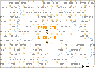
Ofrajato (Ghana)Ofrajato is a town in Ghana. An overview map of the region around Ofrajato is displayed below.
regional and 3d topo map of Ofrajato, Ghana ::
Ofrajato airports ::
The nearest airport is ACC - Accra Kotoka Intl, located 39.7 km east of Ofrajato.
Other airports nearby include TKD - Takoradi (164.4 km south west), LFW - Lome Gnassingbe Eyadema Intl (203.2 km east), NYI - Sunyani (273.2 km north west), Nearby towns ::
Okwabinabetinso (1.9km north) //
Obiliakua (1.8km east) //
Abetinso (2.6km north east) //
Oworatia (3.7km south) //
Ofrajato (3.7km south) //
Bleman (3.7km west) //
Honi (3.7km east) //
Kwamang (4.1km south west) //
Jeikrodrua (4.1km south east) //
Bawjiasi (4.1km north west) //
Fianko (4.1km north west) //
Ofada (4.1km north west) //
Akotuaku (4.1km north east) //
Dankwakrom (4.1km north east) //
Ofaso (5.2km north west) //
Mampehia (5.2km north east) //
Asuobonta (5.6km north) //
Tenbibian (5.5km east) //
Honise (5.5km east) //
Adembra (5.9km north) //
Nsuobri (5.9km north) //
Bowenum (6.7km south west) //
Abosumba (6.7km south west) //
Odenki (6.7km south east) //
Ashalianan (6.7km north east) //
Okwompa (6.7km north west) //
Amontidom (7.4km west) //
Ahireso (7.4km south) //
Adembra (7.4km north) //
[all distances 'as the bird flies' and approximate] 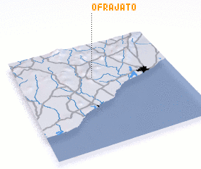 Places with similar names to Ofrajato, Ghana ::
// Ofrajato (GH)
Disclaimer :: Information on this page comes without warranty of any kind |
||
|
Where is Ofrajato? Elevation and coordinates ::
Latitude (lat): 5°41'0"N Longitude (lon): 0°31'0"W
Elevation (approx.): 144m (map arrows pan, magnifying glasses zoom) |
||
|
Visiting Ofrajato? Hotel/Accommodation ::
Book a hotel in Ofrajato Travel Guide ::
Buy a travel guide for Ghana rental cars ::
car rental offers GPS waypoint ::
download a GPX waypoint (PoI) of Ofrajato for your GPS receiver
|
||