|
search place name
|
||
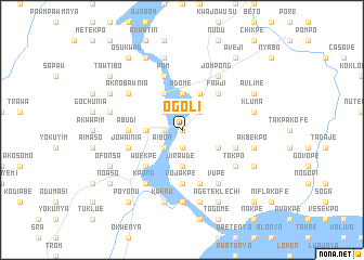
Ogoli (Ghana)Ogoli is a town in Ghana. An overview map of the region around Ogoli is displayed below.
regional and 3d topo map of Ogoli, Ghana ::
Ogoli airports ::
The nearest airport is ACC - Accra Kotoka Intl, located 72.1 km south west of Ogoli.
Other airports nearby include LFW - Lome Gnassingbe Eyadema Intl (127.8 km east), TKD - Takoradi (252.9 km south west), Nearby towns ::
Agbenawsikofe (0.0km north) //
Senchi (1.8km west) //
Akpalegakofe (1.9km south) //
Dufo (2.6km north east) //
Kalamanikofe (2.6km north east) //
Deveme (2.6km north west) //
Aibon (2.6km south west) //
Jirawde (3.7km south) //
Adome (3.7km north) //
Atimpoko (3.7km north) //
Anum (3.7km west) //
Yuagasi (3.7km west) //
Abotia (4.1km north east) //
Kotrope (4.1km north west) //
Babaraso (4.1km south east) //
Fawji (5.2km north east) //
Woekpe (5.2km south west) //
Tohunya (5.2km south west) //
Jirawde (5.6km south) //
Sopoliyi (5.6km south) //
Vojakpe (5.6km south) //
Nobochu (5.6km south) //
Abudi (5.5km west) //
Abakle (5.9km south) //
Afopa (5.9km south) //
Asafo (5.9km north) //
Agbele (5.9km north) //
Pom (5.9km north) //
Meikpo (5.8km east) //
[all distances 'as the bird flies' and approximate] 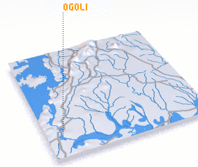 Places with similar names to Ogoli, Ghana ::
Disclaimer :: Information on this page comes without warranty of any kind |
||
|
Where is Ogoli? Elevation and coordinates ::
Latitude (lat): 6°12'0"N Longitude (lon): 0°6'0"W
Elevation (approx.): 21m (map arrows pan, magnifying glasses zoom) |
||
|
Visiting Ogoli? Hotel/Accommodation ::
Book a hotel in Ogoli Travel Guide ::
Buy a travel guide for Ghana rental cars ::
car rental offers GPS waypoint ::
download a GPX waypoint (PoI) of Ogoli for your GPS receiver
|
||