|
search place name
|
||
Tiwobebi (Ghana)Tiwobebi is a town in Ghana. An overview map of the region around Tiwobebi is displayed below.
regional and 3d topo map of Tiwobebi, Ghana ::

Tiwobebi airports ::
The nearest airport is TKD - Takoradi, located 150.3 km south of Tiwobebi.
Other airports nearby include NYI - Sunyani (152.7 km north west), ACC - Accra Kotoka Intl (166.5 km south east), Nearby towns ::
Nkwanta Ofoasi (NaNkm north) //
Hemakrom (1.8km east) //
Nyankumaso (1.8km west) //
Nyamibechire (2.6km south west) //
Merehwe (2.6km north east) //
Mparekrom (3.7km south) //
Asakwa (4.1km north east) //
Ahimaso (4.1km north east) //
Aiyasi (5.6km north) //
Hwiremuasi (5.5km east) //
Fomena (5.9km north) //
Sodadiem (5.8km east) //
Chirebroso (5.8km east) //
Domiabra (5.8km west) //
Brofoyedru (5.8km east) //
Abomposu (5.8km west) //
Kwisa (6.7km north east) //
Nyinafroasi (6.7km south west) //
Bepoasi (6.7km north east) //
Mfakamfahu (7.4km south) //
Dompoasi (7.4km north) //
Asempanaye (7.6km west) //
Mansia (7.6km north) //
Sibinso (7.6km north) //
Nkwansirem (7.8km south east) //
Bepotifi (8.3km south west) //
Jimiso (8.2km north east) //
Ayokua Brofoyedru (9.2km south east) //
Atatem (9.2km north east) //
[all distances 'as the bird flies' and approximate] 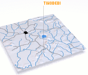 Places with similar names to Tiwobebi, Ghana ::
// Tiwobabi (GH)
Disclaimer :: Information on this page comes without warranty of any kind |
||
|
Where is Tiwobebi? Elevation and coordinates ::
Latitude (lat): 6°14'0"N Longitude (lon): 1°32'0"W
Elevation (approx.): 193m (map arrows pan, magnifying glasses zoom) |
||
|
Visiting Tiwobebi? Hotel/Accommodation ::
Book a hotel in Tiwobebi Travel Guide ::
Buy a travel guide for Ghana rental cars ::
car rental offers GPS waypoint ::
download a GPX waypoint (PoI) of Tiwobebi for your GPS receiver
|
||