|
search place name
|
||
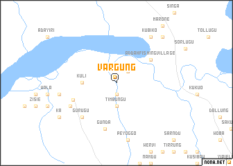
Vargung (Ghana)Vargung is a town in Ghana. An overview map of the region around Vargung is displayed below.
regional and 3d topo map of Vargung, Ghana ::
Vargung airports ::
The nearest airport is TML - Tamale, located 33.7 km east of Vargung.
Nearby towns ::
Tienayili (1.9km south) //
Weni (2.6km north east) //
Timbungu (3.7km south) //
Kuli (5.5km west) //
Addah Fishing Village (6.6km north east) //
Lungbunga (7.4km west) //
Gunda (7.6km south) //
Gurugu (7.8km south west) //
Nabba (8.2km south west) //
Kubiko (9.2km north east) //
Gienni (10.4km north east) //
[all distances 'as the bird flies' and approximate] 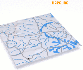 Places with similar names to Vargung, Ghana ::
// Verkhniy Kiy (RU)
// Verkhniy Yug (RU)
// Fricking (AT)
// Vrakhnaíika (GR)
// Vrakhnaíika (GR)
// Vrakhnaíika (GR)
// Freganka (RU)
// Farié Goungou (NE)
// Fara Kunku (GM)
// Veyrignac (FR)
Disclaimer :: Information on this page comes without warranty of any kind |
||
|
Where is Vargung? Elevation and coordinates ::
Latitude (lat): 9°40'0"N Longitude (lon): 1°9'0"W
Elevation (approx.): 114m (map arrows pan, magnifying glasses zoom) |
||
|
Visiting Vargung? Hotel/Accommodation ::
Book a hotel in Vargung Travel Guide ::
Buy a travel guide for Ghana rental cars ::
car rental offers GPS waypoint ::
download a GPX waypoint (PoI) of Vargung for your GPS receiver
|
||