|
search place name
|
||
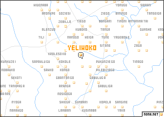
Yeliwoko (Ghana)Yeliwoko is a town in Ghana. An overview map of the region around Yeliwoko is displayed below.
regional and 3d topo map of Yeliwoko, Ghana ::
Yeliwoko airports ::
The nearest airport is TML - Tamale, located 148.9 km south of Yeliwoko.
Other airports nearby include OUA - Ouagadougou (200.6 km north west), LRL - Niatougou Niamtougou International (210.0 km south east), Nearby towns ::
Gumbo (1.9km south) //
Bugori (2.6km north east) //
Boiya (2.6km south east) //
Putigore (2.6km north west) //
Adonsi (4.1km south east) //
Weiga (4.1km north east) //
Kpalisako (4.1km south east) //
Gwosheshi (4.1km north west) //
Narogo (4.1km north west) //
Atarakom (4.1km north west) //
Kokole (4.1km south west) //
Kamega (4.1km north west) //
Kongo (5.2km south west) //
Kpalesoko (5.5km west) //
Kuboko (5.6km north) //
Binaba (5.8km south) //
Azuwera (5.9km south) //
Azantole (5.8km west) //
Pukunziego (5.8km east) //
Sitane (5.8km east) //
Bazunde (5.9km north) //
Gabuluga (6.6km south east) //
Pilebiziago (6.6km south east) //
Azupunpun (6.6km north west) //
Tune (6.6km north east) //
Gbantongo (6.6km south west) //
Tiego (7.4km north) //
Kpalisako (7.5km east) //
Aragbiri (7.6km south) //
[all distances 'as the bird flies' and approximate] 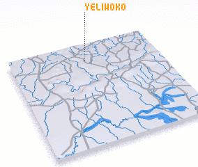 Places with similar names to Yeliwoko, Ghana :: Disclaimer :: Information on this page comes without warranty of any kind |
||
|
Where is Yeliwoko? Elevation and coordinates ::
Latitude (lat): 10°51'0"N Longitude (lon): 0°29'0"W
Elevation (approx.): 198m (map arrows pan, magnifying glasses zoom) |
||
|
Visiting Yeliwoko? Hotel/Accommodation ::
Book a hotel in Yeliwoko Travel Guide ::
Buy a travel guide for Ghana rental cars ::
car rental offers GPS waypoint ::
download a GPX waypoint (PoI) of Yeliwoko for your GPS receiver
|
||