|
search place name
|
||
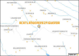
Acatlán de Pérez Figueroa (Oaxaca, Mexico)Acatlán de Pérez Figueroa is a town in the Oaxaca region of Mexico. An overview map of the region around Acatlán de Pérez Figueroa is displayed below.
regional and 3d topo map of Acatlán de Pérez Figueroa, Mexico ::
Acatlán de Pérez Figueroa airports ::
The nearest airport is VER - Vera Cruz General Heriberto Jara Intl, located 81.5 km north east of Acatlán de Pérez Figueroa.
Other airports nearby include TCN - Tehuacan (84.9 km west), OAX - Oaxaca Xoxocotlan Intl (170.1 km south), PBC - Puebla Hermanos Serdan Intl (197.4 km west), TXA - Tlaxcala (198.0 km north west), Nearby towns ::
San Miguel Carrizal (4.3km north) //
Rancho Tabla (5.0km north west) //
La Junta (5.8km south west) //
Cosolapa (6.6km north west) //
Cañada de San Antonio (7.0km south west) //
Monte Obscuro (7.3km north) //
Aserradero (7.2km north) //
El Refugio (7.3km north west) //
Carrizo (7.6km north) //
Barbasco (8.2km north east) //
Buenos Aires (8.7km south west) //
Almolonga (9.3km north west) //
Tezonapa (11.6km north west) //
[all distances 'as the bird flies' and approximate] 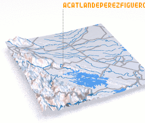 Places with similar names to Acatlán de Pérez Figueroa, Mexico :: Disclaimer :: Information on this page comes without warranty of any kind |
||
|
Where is Acatlán de Pérez Figueroa? Elevation and coordinates ::
Latitude (lat): 18°32'0"N Longitude (lon): 96°37'0"W
Elevation (approx.): 128m (map arrows pan, magnifying glasses zoom) |
||
|
Visiting Acatlán de Pérez Figueroa? Hotel/Accommodation ::
Book a hotel in Acatlán de Pérez Figueroa Travel Guide ::
Buy a travel guide for Mexico rental cars ::
car rental offers GPS waypoint ::
download a GPX waypoint (PoI) of Acatlán de Pérez Figueroa for your GPS receiver
|
||