|
search place name
|
||
Almendros (Chiapas, Mexico)Almendros is a town in the Chiapas region of Mexico. An overview map of the region around Almendros is displayed below.
regional and 3d topo map of Almendros, Mexico ::

Almendros airports ::
The nearest airport is TGZ - Tuxtla Gutierrez Angel Albino Corzo, located 104.2 km north east of Almendros.
Other airports nearby include TAP - Tapachula Intl (184.3 km south east), Nearby towns ::
Boca del Cielo (2.5km south east) //
Santa Rosa (2.6km south east) //
Belisario Domínguez (3.3km north west) //
La Barra (4.0km north west) //
Pueblo Nuevo (4.6km east) //
Mojarras (5.3km east) //
Loma Bonita (9.1km north west) //
La Cabaña (9.1km north east) //
[all distances 'as the bird flies' and approximate] 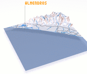 Places with similar names to Almendros, Mexico ::
// Almendares (CU)
// Almendres (ES)
// Almendros (ES)
// Almendares (CU)
// Almendras (PT)
// Almendras (PH)
// Almendras (PH)
// Almendras (BO)
// Almendros (BO)
// Almendras (PE)
Disclaimer :: Information on this page comes without warranty of any kind |
||
|
Where is Almendros? Elevation and coordinates ::
Latitude (lat): 15°52'0"N Longitude (lon): 93°41'0"W
Elevation (approx.): 7m (map arrows pan, magnifying glasses zoom) |
||
|
Visiting Almendros? Hotel/Accommodation ::
Book a hotel in Almendros Travel Guide ::
Buy a travel guide for Mexico rental cars ::
car rental offers GPS waypoint ::
download a GPX waypoint (PoI) of Almendros for your GPS receiver
|
||