|
search place name
|
||
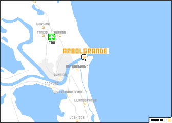
Árbol Grande (Tamaulipas, Mexico)Árbol Grande is a town in the Tamaulipas region of Mexico. An overview map of the region around Árbol Grande is displayed below.
regional and 3d topo map of Árbol Grande, Mexico ::
Árbol Grande airports ::
The nearest airport is TAM - Tampico General Francisco Javier Mina Intl, located 8.5 km north west of Árbol Grande.
Other airports nearby include TSL - Tamuin (106.4 km west), PAZ - Poza Rico Tajin (185.8 km south), CVM - Ciudad Victoria General Pedro Jose Mendez Intl (199.9 km north west), Nearby towns ::
La Barra (1.9km north) //
Miramar (1.9km north) //
Mata Redonda (2.5km south west) //
Ciudad Madero (3.9km north west) //
Tampico (6.3km south west) //
Burros (7.6km north west) //
Villa Cuauhtémoc (8.2km south west) //
Anáhuac (8.8km south west) //
[all distances 'as the bird flies' and approximate] 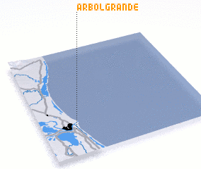 Places with similar names to Árbol Grande, Mexico ::
// Árbol Grande (MX)
Disclaimer :: Information on this page comes without warranty of any kind |
||
|
Where is Árbol Grande? Elevation and coordinates ::
Latitude (lat): 22°15'0"N Longitude (lon): 97°48'0"W
Elevation (approx.): 9m (map arrows pan, magnifying glasses zoom) |
||
|
Visiting Árbol Grande? Hotel/Accommodation ::
Book a hotel in Árbol Grande Travel Guide ::
Buy a travel guide for Mexico rental cars ::
car rental offers GPS waypoint ::
download a GPX waypoint (PoI) of Árbol Grande for your GPS receiver
|
||