|
search place name
|
||
Balhuitz (Chiapas, Mexico)Balhuitz is a town in the Chiapas region of Mexico. An overview map of the region around Balhuitz is displayed below.
regional and 3d topo map of Balhuitz, Mexico ::

Balhuitz airports ::
The nearest airport is TGZ - Tuxtla Gutierrez Angel Albino Corzo, located 58.1 km west of Balhuitz.
Other airports nearby include VSA - Villahermosa C P A Carlos Rovirosa Intl (157.7 km north), TAP - Tapachula Intl (201.1 km south), Nearby towns ::
Tzajalá (2.0km south east) //
Belén (2.8km south west) //
Belén (3.6km west) //
Flores Magón (5.0km north west) //
San Isidro (5.5km east) //
Chilil (7.4km north) //
Los Llanos (7.8km north) //
Yalcuc (7.6km east) //
Nuevo León (7.6km west) //
Campo Santiago (8.4km south west) //
Chigtón (8.8km north) //
Buenavista (9.0km north east) //
San Isidro Chijilté (9.9km south west) //
[all distances 'as the bird flies' and approximate] 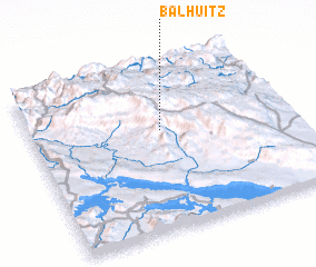 Places with similar names to Balhuitz, Mexico ::
// Boyle Heights (US)
// Beeghly Heights (US)
// Belahatsy (MG)
// Belle Hôtesse (HT)
// Belle Hôtesse (HT)
// Belle Hôtesse (HT)
// Belle Hôtesse (HT)
// Belle Hôtesse (HT)
// Bell Heights (US)
// Blahotice (CZ)
Disclaimer :: Information on this page comes without warranty of any kind |
||
|
Where is Balhuitz? Elevation and coordinates ::
Latitude (lat): 16°36'30"N Longitude (lon): 92°29'0"W
Elevation (approx.): 2480m (map arrows pan, magnifying glasses zoom) |
||
|
Visiting Balhuitz? Hotel/Accommodation ::
Book a hotel in Balhuitz Travel Guide ::
Buy a travel guide for Mexico rental cars ::
car rental offers GPS waypoint ::
download a GPX waypoint (PoI) of Balhuitz for your GPS receiver
|
||