|
search place name
|
||
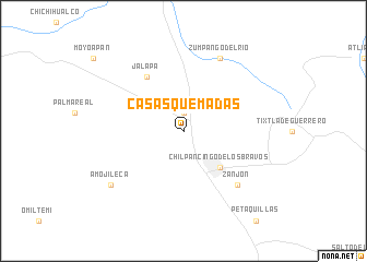
Casas Quemadas (Guerrero, Mexico)Casas Quemadas is a town in the Guerrero region of Mexico. An overview map of the region around Casas Quemadas is displayed below.
regional and 3d topo map of Casas Quemadas, Mexico ::
Casas Quemadas airports ::
The nearest airport is ACA - Acapulco General Juan N Alvarez Intl, located 94.4 km south of Casas Quemadas.
Other airports nearby include CVJ - Cuernavaca General Mariano Matamoros (141.5 km north), TLC - Toluca Licenciado Adolfo Lopez Mateos Intl (194.1 km north), ZIH - Ixtapa Zihuatanejo Intl (204.6 km west), MEX - Mexico City Licenciado Benito Juarez Intl (210.8 km north), Nearby towns ::
Tierras Prietas (1.9km north) //
Chilpancingo de los Bravos (5.1km south east) //
Jalapa (6.6km north west) //
Zanjón (7.7km south east) //
Zumpango del Río (8.2km north east) //
Amojileca (9.0km south west) //
[all distances 'as the bird flies' and approximate] 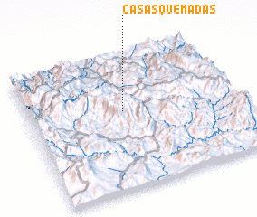 Places with similar names to Casas Quemadas, Mexico ::
// Casas Quemadas (PE)
Disclaimer :: Information on this page comes without warranty of any kind |
||
|
Where is Casas Quemadas? Elevation and coordinates ::
Latitude (lat): 17°35'0"N Longitude (lon): 99°32'0"W
Elevation (approx.): 1558m (map arrows pan, magnifying glasses zoom) |
||
|
Visiting Casas Quemadas? Hotel/Accommodation ::
Book a hotel in Casas Quemadas Travel Guide ::
Buy a travel guide for Mexico rental cars ::
car rental offers GPS waypoint ::
download a GPX waypoint (PoI) of Casas Quemadas for your GPS receiver
|
||