|
search place name
|
||
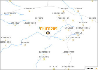
Chicoras (Sonora, Mexico)Chicoras is a town in the Sonora region of Mexico. An overview map of the region around Chicoras is displayed below.
regional and 3d topo map of Chicoras, Mexico ::
Chicoras airports ::
The nearest airport is CEN - Ciudad Obregon Intl, located 80.5 km north west of Chicoras.
Other airports nearby include LMM - Los Mochis Valle Del Fuerte Intl (145.8 km south), GYM - Guaymas General Jose Maria Yanez Intl (205.7 km north west), Nearby towns ::
Mochibampo (2.5km north west) //
Jusacucha (5.3km east) //
Bachaca (6.5km north west) //
Huirobampo (7.6km south) //
Tetajiosa (6.9km east) //
San Nicolás (7.4km north east) //
La Escondida (7.6km north west) //
Dos Hermanos (8.1km north east) //
Las Rastras (9.9km south east) //
[all distances 'as the bird flies' and approximate] 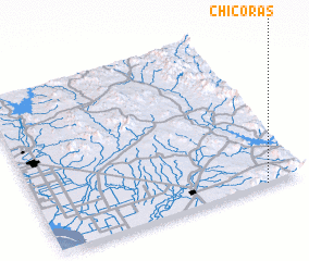 Places with similar names to Chicoras, Mexico ::
// Sheqeras (AL)
// Choykeros (RU)
// Chāh Kahrīz (IR)
// Choqā Reẕā (IR)
// Shakers (US)
// Chagres (CL)
// Chagres (CO)
// Chigüiros (CO)
// Chacras (EC)
// Chocruz (GT)
Disclaimer :: Information on this page comes without warranty of any kind |
||
|
Where is Chicoras? Elevation and coordinates ::
Latitude (lat): 27°0'0"N Longitude (lon): 109°9'0"W
Elevation (approx.): 296m (map arrows pan, magnifying glasses zoom) |
||
|
Visiting Chicoras? Hotel/Accommodation ::
Book a hotel in Chicoras Travel Guide ::
Buy a travel guide for Mexico rental cars ::
car rental offers GPS waypoint ::
download a GPX waypoint (PoI) of Chicoras for your GPS receiver
|
||