|
search place name
|
||
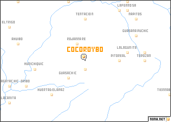
Cocoroybo (Chihuahua, Mexico)Cocoroybo is a town in the Chihuahua region of Mexico. An overview map of the region around Cocoroybo is displayed below.
regional and 3d topo map of Cocoroybo, Mexico ::
Cocoroybo airports ::
The nearest airport is CEN - Ciudad Obregon Intl, located 158.0 km west of Cocoroybo.
Other airports nearby include LMM - Los Mochis Valle Del Fuerte Intl (235.8 km south), Nearby towns ::
Chague (1.9km south) //
Rojarrare (4.1km north west) //
Guasachic (5.0km south west) //
Pito Real (6.6km east) //
Huerta de la Paz (9.9km south west) //
[all distances 'as the bird flies' and approximate] 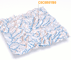 Places with similar names to Cocoroybo, Mexico ::
// Guacá Arriba (PA)
// Çakırbey (TR)
// Çukuroba (TR)
// Çukuroba (TR)
// Kuchrab (RU)
// Koukourouba (BF)
// Koukourbé (TD)
// Kakarbai (IN)
// Kukrubua (GH)
// Kikoroba (UG)
Disclaimer :: Information on this page comes without warranty of any kind |
||
|
Where is Cocoroybo? Elevation and coordinates ::
Latitude (lat): 27°41'0"N Longitude (lon): 108°16'0"W
Elevation (approx.): 1963m (map arrows pan, magnifying glasses zoom) |
||
|
Visiting Cocoroybo? Hotel/Accommodation ::
Book a hotel in Cocoroybo Travel Guide ::
Buy a travel guide for Mexico rental cars ::
car rental offers GPS waypoint ::
download a GPX waypoint (PoI) of Cocoroybo for your GPS receiver
|
||