|
search place name
|
||
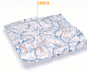
Conca (Querétaro de Arteaga, Mexico)Conca is a town in the Querétaro de Arteaga region of Mexico. An overview map of the region around Conca is displayed below.
regional and 3d topo map of Conca, Mexico ::

Conca airports ::
The nearest airport is QRO - Queretaro Intercontinental, located 105.2 km south west of Conca.
Other airports nearby include TSL - Tamuin (111.4 km north east), SLP - San Luis Potosi Ponciano Arriaga Intl (159.2 km north west), PCA - Pachuca Ingeniero Juan Guillermo Villasana (176.1 km south east), BJX - Del Bajio Guanajuato Intl (194.5 km west), Nearby towns ::
 Places with similar names to Conca, Mexico ::
Disclaimer :: Information on this page comes without warranty of any kind |
||
|
Where is Conca? Elevation and coordinates ::
Latitude (lat): 21°26'0"N Longitude (lon): 99°40'0"W
Elevation (approx.): 729m (map arrows pan, magnifying glasses zoom) |
||
|
Visiting Conca? Hotel/Accommodation ::
Book a hotel in Conca Travel Guide ::
Buy a travel guide for Mexico rental cars ::
car rental offers GPS waypoint ::
download a GPX waypoint (PoI) of Conca for your GPS receiver
|
||