|
search place name
|
||
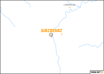
Díaz Ordaz (Oaxaca, Mexico)Díaz Ordaz is a town in the Oaxaca region of Mexico. An overview map of the region around Díaz Ordaz is displayed below.
regional and 3d topo map of Díaz Ordaz, Mexico ::
Díaz Ordaz airports ::
The nearest airport is TGZ - Tuxtla Gutierrez Angel Albino Corzo, located 122.7 km east of Díaz Ordaz.
Other airports nearby include MTT - Minatitlan (160.5 km north), VSA - Villahermosa C P A Carlos Rovirosa Intl (202.2 km north east), TAP - Tapachula Intl (286.2 km south east), Nearby towns ::
Benito Juárez (3.6km east) //
[all distances 'as the bird flies' and approximate]  Places with similar names to Díaz Ordaz, Mexico ::
// Desertes (IT)
// Dziurdziów (PL)
// Tsaratasy (MG)
// Díaz Ordaz (MX)
// Díaz Ordaz (MX)
// Díaz Ordáz (MX)
// Dos Cerritos (MX)
// Dos Cerritos (PE)
// Tsordzh (TJ)
// Dos Rutais (HT)
Disclaimer :: Information on this page comes without warranty of any kind |
||
|
Where is Díaz Ordaz? Elevation and coordinates ::
Latitude (lat): 16°42'31"N Longitude (lon): 94°9'57"W
Elevation (approx.): 943m (map arrows pan, magnifying glasses zoom) |
||
|
Visiting Díaz Ordaz? Hotel/Accommodation ::
Book a hotel in Díaz Ordaz Travel Guide ::
Buy a travel guide for Mexico rental cars ::
car rental offers GPS waypoint ::
download a GPX waypoint (PoI) of Díaz Ordaz for your GPS receiver
|
||