|
search place name
|
||
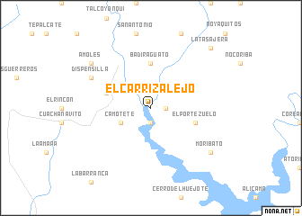
El Carrizalejo (Sinaloa, Mexico)El Carrizalejo is a town in the Sinaloa region of Mexico. An overview map of the region around El Carrizalejo is displayed below.
regional and 3d topo map of El Carrizalejo, Mexico ::
El Carrizalejo airports ::
The nearest airport is CUL - Culiacan Intl, located 61.3 km south of El Carrizalejo.
Other airports nearby include LMM - Los Mochis Valle Del Fuerte Intl (162.5 km west), Nearby towns ::
Batopito (1.9km south) //
San Antonio (1.7km east) //
Camotete (3.8km south west) //
Balopito (3.8km south west) //
Badiraguato (5.6km north) //
Cheparahuelo (5.4km west) //
El Portezuelo (5.4km east) //
Dispensilla (7.7km north west) //
Amoles (8.7km north west) //
Moribato (8.7km south east) //
La Tasajera (10.0km north east) //
[all distances 'as the bird flies' and approximate] 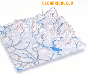 Places with similar names to El Carrizalejo, Mexico ::
// El Carrizalejo (MX)
Disclaimer :: Information on this page comes without warranty of any kind |
||
|
Where is El Carrizalejo? Elevation and coordinates ::
Latitude (lat): 25°19'0"N Longitude (lon): 107°31'0"W
Elevation (approx.): 212m (map arrows pan, magnifying glasses zoom) |
||
|
Visiting El Carrizalejo? Hotel/Accommodation ::
Book a hotel in El Carrizalejo Travel Guide ::
Buy a travel guide for Mexico rental cars ::
car rental offers GPS waypoint ::
download a GPX waypoint (PoI) of El Carrizalejo for your GPS receiver
|
||