|
search place name
|
||
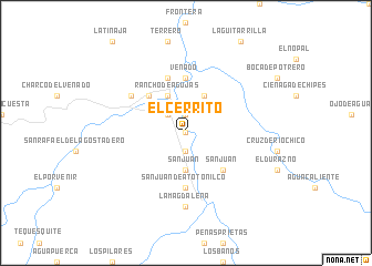
El Cerrito (Chihuahua, Mexico)El Cerrito is a town in the Chihuahua region of Mexico. An overview map of the region around El Cerrito is displayed below.
regional and 3d topo map of El Cerrito, Mexico ::
El Cerrito airports ::
The nearest airport is CUU - Chihuahua General R Fierro Villalobos Intl, located 199.4 km north of El Cerrito.
Nearby towns ::
Galera (NaNkm north) //
Faustinos (1.9km south) //
Todos Santos (1.9km south) //
Medinero (1.9km north) //
Belleza (2.5km north west) //
San Juan (3.7km south) //
Belleza (4.1km north east) //
Rancho de Agujas (4.1km north west) //
San Juan (5.0km south east) //
Agujas (5.0km north west) //
Potrero Tarineño (5.6km north) //
Venado (5.6km north) //
Ranchito de San Juan (5.6km south) //
San Juan de Atotonilco (5.6km south) //
Barreño (5.8km north) //
El Padre (6.2km north west) //
La Magdalena (7.4km south) //
[all distances 'as the bird flies' and approximate] 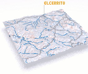 Places with similar names to El Cerrito, Mexico ::
// El Cerrito (US)
// El Cerrito (US)
// El Cerrito (PA)
// El Cerrito (PA)
// El Cerrud (PA)
// El Cerrote (CU)
// El Sordo (CU)
// El Sordo (CU)
// El Cerrito (ES)
// El Serrat (ES)
Disclaimer :: Information on this page comes without warranty of any kind |
||
|
Where is El Cerrito? Elevation and coordinates ::
Latitude (lat): 26°56'0"N Longitude (lon): 106°20'0"W
Elevation (approx.): 1567m (map arrows pan, magnifying glasses zoom) |
||
|
Visiting El Cerrito? Hotel/Accommodation ::
Book a hotel in El Cerrito Travel Guide ::
Buy a travel guide for Mexico rental cars ::
car rental offers GPS waypoint ::
download a GPX waypoint (PoI) of El Cerrito for your GPS receiver
|
||