|
search place name
|
||
El Pápago (Sonora, Mexico)El Pápago is a town in the Sonora region of Mexico. An overview map of the region around El Pápago is displayed below.
regional and 3d topo map of El Pápago, Mexico ::

El Pápago airports ::
The nearest airport is PPE - Punta Penasco Puerto Penasco, located 83.5 km south west of El Pápago.
Other airports nearby include YUM - Yuma Mcas Yuma Intl (184.4 km north west), TUS - Tucson Intl (185.6 km east), LUF - Phoenix Luke Afb (190.9 km north), PHX - Phoenix Sky Harbor Intl (192.1 km north east), Nearby towns ::
Rancho Romo (1.9km north) //
El Pueblo (3.1km east) //
Sonoyta (5.1km east) //
Rosa de Castilla (6.6km west) //
Lukeville (6.7km east) //
[all distances 'as the bird flies' and approximate] 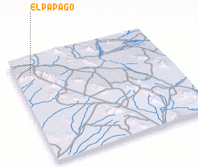 Places with similar names to El Pápago, Mexico :: Disclaimer :: Information on this page comes without warranty of any kind |
||
|
Where is El Pápago? Elevation and coordinates ::
Latitude (lat): 31°52'0"N Longitude (lon): 112°53'0"W
Elevation (approx.): 382m (map arrows pan, magnifying glasses zoom) |
||
|
Visiting El Pápago? Hotel/Accommodation ::
Book a hotel in El Pápago Travel Guide ::
Buy a travel guide for Mexico rental cars ::
car rental offers GPS waypoint ::
download a GPX waypoint (PoI) of El Pápago for your GPS receiver
|
||