|
search place name
|
||
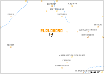
El Plomoso (Chihuahua, Mexico)El Plomoso is a town in the Chihuahua region of Mexico. An overview map of the region around El Plomoso is displayed below.
regional and 3d topo map of El Plomoso, Mexico ::
El Plomoso airports ::
The nearest airport is CJS - Ciudad Juarez Abraham Gonzalez Intl, located 135.3 km north of El Plomoso.
Other airports nearby include ELP - El Paso Intl (154.9 km north), BIF - El Paso Biggs Aaf (159.3 km north), CUU - Chihuahua General R Fierro Villalobos Intl (212.9 km south east), Nearby towns ::
El Nabor (5.1km east) //
Santiago (8.1km north east) //
Josefa Ortíz de Domínguez (9.8km south east) //
[all distances 'as the bird flies' and approximate] 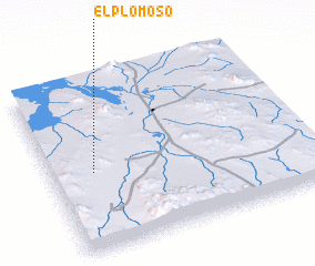 Places with similar names to El Plomoso, Mexico :: Disclaimer :: Information on this page comes without warranty of any kind |
||
|
Where is El Plomoso? Elevation and coordinates ::
Latitude (lat): 30°28'0"N Longitude (lon): 106°50'0"W
Elevation (approx.): 1301m (map arrows pan, magnifying glasses zoom) |
||
|
Visiting El Plomoso? Hotel/Accommodation ::
Book a hotel in El Plomoso Travel Guide ::
Buy a travel guide for Mexico rental cars ::
car rental offers GPS waypoint ::
download a GPX waypoint (PoI) of El Plomoso for your GPS receiver
|
||