|
search place name
|
||
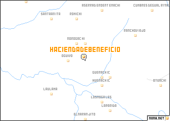
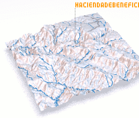
Hacienda de Beneficio (Chihuahua, Mexico)Hacienda de Beneficio is a town in the Chihuahua region of Mexico. An overview map of the region around Hacienda de Beneficio is displayed below.
regional and 3d topo map of Hacienda de Beneficio, Mexico ::
Hacienda de Beneficio airports ::
The nearest airport is LMM - Los Mochis Valle Del Fuerte Intl, located 208.0 km south west of Hacienda de Beneficio.
Other airports nearby include CUL - Culiacan Intl (220.2 km south), CUU - Chihuahua General R Fierro Villalobos Intl (256.8 km north east), Nearby towns ::
 Places with similar names to Hacienda de Beneficio, Mexico :: Disclaimer :: Information on this page comes without warranty of any kind |
||
|
Where is Hacienda de Beneficio? Elevation and coordinates ::
Latitude (lat): 26°45'0"N Longitude (lon): 107°22'0"W
Elevation (approx.): 2092m (map arrows pan, magnifying glasses zoom) |
||
|
Visiting Hacienda de Beneficio? Hotel/Accommodation ::
Book a hotel in Hacienda de Beneficio Travel Guide ::
Buy a travel guide for Mexico rental cars ::
car rental offers GPS waypoint ::
download a GPX waypoint (PoI) of Hacienda de Beneficio for your GPS receiver
|
||