|
search place name
|
||
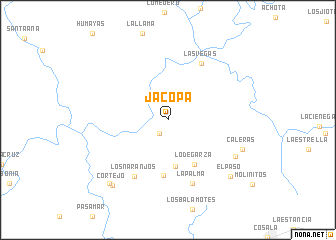
Jacopa (Sinaloa, Mexico)Jacopa is a town in the Sinaloa region of Mexico. An overview map of the region around Jacopa is displayed below.
regional and 3d topo map of Jacopa, Mexico ::
Jacopa airports ::
The nearest airport is CUL - Culiacan Intl, located 73.9 km west of Jacopa.
Other airports nearby include MZT - Mazatlan General Rafael Buelna Intl (160.7 km south), Nearby towns ::
El Ranchito (1.7km south west) //
El Palmar de los Fonseca (5.2km south) //
Lo de Garza (5.6km south east) //
Temiaquis (6.3km south) //
Los Naranjos (7.1km south west) //
Las Vegas (7.2km north east) //
La Palma (7.5km south) //
Carrizal (8.0km south east) //
Caleras (8.2km south east) //
El Paso (8.9km south east) //
Cortejo (9.2km south west) //
Rincón de la Lagunita (9.2km south west) //
[all distances 'as the bird flies' and approximate] 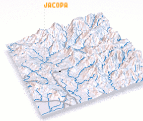 Places with similar names to Jacopa, Mexico ::
Disclaimer :: Information on this page comes without warranty of any kind |
||
|
Where is Jacopa? Elevation and coordinates ::
Latitude (lat): 24°31'48"N Longitude (lon): 106°47'28"W
Elevation (approx.): 212m (map arrows pan, magnifying glasses zoom) |
||
|
Visiting Jacopa? Hotel/Accommodation ::
Book a hotel in Jacopa Travel Guide ::
Buy a travel guide for Mexico rental cars ::
car rental offers GPS waypoint ::
download a GPX waypoint (PoI) of Jacopa for your GPS receiver
|
||