|
search place name
|
||
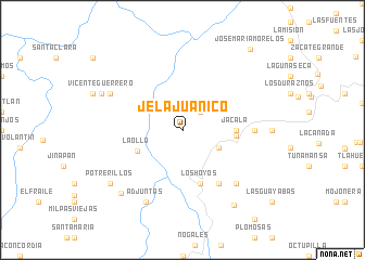
Jela Juanico (Hidalgo, Mexico)Jela Juanico is a town in the Hidalgo region of Mexico. An overview map of the region around Jela Juanico is displayed below.
regional and 3d topo map of Jela Juanico, Mexico ::
Jela Juanico airports ::
The nearest airport is QRO - Queretaro Intercontinental, located 108.5 km south west of Jela Juanico.
Other airports nearby include PCA - Pachuca Ingeniero Juan Guillermo Villasana (114.1 km south east), TSL - Tamuin (121.5 km north), MEX - Mexico City Licenciado Benito Juarez Intl (175.8 km south), TLC - Toluca Licenciado Adolfo Lopez Mateos Intl (189.2 km south), Nearby towns ::
Hilojuanico (2.5km north east) //
Puerto los Frijoles (3.9km south east) //
La Olla (4.8km south west) //
Jacala (5.2km east) //
El Calvario (5.2km east) //
Los Hoyos (5.8km south) //
Agua Fría Grande (6.5km south east) //
Cuesta Colorada (6.9km east) //
Agua Fría Chica (7.6km south east) //
Tilcuautla (7.6km south east) //
Pacula (7.8km north west) //
Adjuntas (8.2km south west) //
Rancho Nuevo (8.8km south west) //
Vicente Guerrero (8.6km north west) //
Potrerillos (8.9km south west) //
Barranca Arriba (9.1km south east) //
José María Morelos (10.6km north east) //
[all distances 'as the bird flies' and approximate] 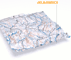 Places with similar names to Jela Juanico, Mexico :: Disclaimer :: Information on this page comes without warranty of any kind |
||
|
Where is Jela Juanico? Elevation and coordinates ::
Latitude (lat): 21°1'0"N Longitude (lon): 99°14'0"W
Elevation (approx.): 1523m (map arrows pan, magnifying glasses zoom) |
||
|
Visiting Jela Juanico? Hotel/Accommodation ::
Book a hotel in Jela Juanico Travel Guide ::
Buy a travel guide for Mexico rental cars ::
car rental offers GPS waypoint ::
download a GPX waypoint (PoI) of Jela Juanico for your GPS receiver
|
||