|
search place name
|
||
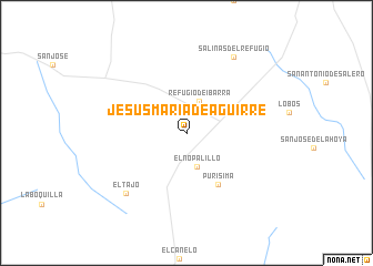
Jesús María de Aguirre (Nuevo León, Mexico)Jesús María de Aguirre is a town in the Nuevo León region of Mexico. An overview map of the region around Jesús María de Aguirre is displayed below.
regional and 3d topo map of Jesús María de Aguirre, Mexico ::
Jesús María de Aguirre airports ::
The nearest airport is SLW - Saltillo Plan De Guadalupe Intl, located 135.9 km north west of Jesús María de Aguirre.
Other airports nearby include MTY - Monterrey General Mariano Escobedo Intl (151.7 km north), NTR - Monterrey Del Norte Intl (159.5 km north), CVM - Ciudad Victoria General Pedro Jose Mendez Intl (165.4 km south east), Nearby towns ::
Refugio de Ibarra (3.4km north) //
El Nopalillo (3.6km south) //
Purísima (5.9km south east) //
La Independencia (6.4km east) //
El Tajo (8.2km south west) //
Salinas del Refugio (8.8km north east) //
[all distances 'as the bird flies' and approximate] 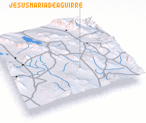 Places with similar names to Jesús María de Aguirre, Mexico ::
// Jesús María de Aguirre (MX)
Disclaimer :: Information on this page comes without warranty of any kind |
||
|
Where is Jesús María de Aguirre? Elevation and coordinates ::
Latitude (lat): 24°25'52"N Longitude (lon): 100°22'35"W
Elevation (approx.): 1862m (map arrows pan, magnifying glasses zoom) |
||
|
Visiting Jesús María de Aguirre? Hotel/Accommodation ::
Book a hotel in Jesús María de Aguirre Travel Guide ::
Buy a travel guide for Mexico rental cars ::
car rental offers GPS waypoint ::
download a GPX waypoint (PoI) of Jesús María de Aguirre for your GPS receiver
|
||