|
search place name
|
||
La Tinaja (Guanajuato, Mexico)La Tinaja is a town in the Guanajuato region of Mexico. An overview map of the region around La Tinaja is displayed below.
regional and 3d topo map of La Tinaja, Mexico ::

La Tinaja airports ::
The nearest airport is BJX - Del Bajio Guanajuato Intl, located 75.7 km south west of La Tinaja.
Other airports nearby include SLP - San Luis Potosi Ponciano Arriaga Intl (97.8 km north), QRO - Queretaro Intercontinental (110.0 km south east), AGU - Aguascalientes Jesus Teran Intl (154.1 km west), MLM - Morelia General Francisco J Mujica Intl (169.3 km south), Nearby towns ::
Palo Verde (1.6km north west) //
Barranca de Cano (2.8km south) //
San Agustín (2.8km west) //
Príncipes (3.0km north west) //
Hacienda de Ojuelos (3.1km east) //
Ojuelos (3.5km south east) //
Claveles (4.5km south) //
Rodríguez (4.6km west) //
San Antonio (5.0km north) //
La Trinidad (5.1km south west) //
San Nicolás del Charco (5.2km south west) //
El Patol (5.7km north) //
Ejido de Ojuelos (5.6km north east) //
La Tinaja (6.0km south east) //
La Nueva Luz (6.5km south) //
San José (6.8km north) //
El Colorada (6.8km south west) //
Ovejas (6.9km south east) //
Las Yerbas (7.0km south west) //
Fracción de Ojuelos (6.8km east) //
El Barreno (7.3km north) //
El Salitre (7.3km north) //
Las Yerbas (7.8km south west) //
Las Negritas (8.4km south) //
Palo Amarillo (8.5km south) //
Tepozán (8.0km west) //
Cabras (8.0km west) //
El Ranchito (8.8km north) //
El Fresno (8.8km north west) //
[all distances 'as the bird flies' and approximate] 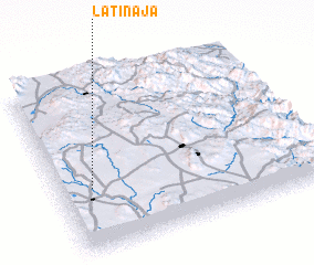 Places with similar names to La Tinaja, Mexico ::
Disclaimer :: Information on this page comes without warranty of any kind |
||
|
Where is La Tinaja? Elevation and coordinates ::
Latitude (lat): 21°22'21"N Longitude (lon): 100°52'25"W
Elevation (approx.): 2034m (map arrows pan, magnifying glasses zoom) |
||
|
Visiting La Tinaja? Hotel/Accommodation ::
Book a hotel in La Tinaja Travel Guide ::
Buy a travel guide for Mexico rental cars ::
car rental offers GPS waypoint ::
download a GPX waypoint (PoI) of La Tinaja for your GPS receiver
|
||