|
search place name
|
||
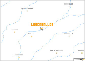
Los Caballos (Baja California Sur, Mexico)Los Caballos is a town in the Baja California Sur region of Mexico. An overview map of the region around Los Caballos is displayed below.
regional and 3d topo map of Los Caballos, Mexico ::
Los Caballos airports ::
The nearest airport is LTO - Loreto Intl, located 127.8 km south east of Los Caballos.
Other airports nearby include GYM - Guaymas General Jose Maria Yanez Intl (207.9 km north east), Nearby towns ::
Mezcal (5.0km south west) //
Santo Domingo (10.5km north west) //
[all distances 'as the bird flies' and approximate] 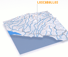 Places with similar names to Los Caballos, Mexico ::
// Las Caobillas (CU)
// Las Cábilas (ES)
// Los Caballos (CO)
// Los Caballos (CO)
// Los Caballos (CO)
// Los Caballos (MX)
// Los Caballos (MX)
// Los Caballos (MX)
// Los Caballos (MX)
// Las Cabullas (VE)
Disclaimer :: Information on this page comes without warranty of any kind |
||
|
Where is Los Caballos? Elevation and coordinates ::
Latitude (lat): 26°38'20"N Longitude (lon): 112°24'22"W
Elevation (approx.): 337m (map arrows pan, magnifying glasses zoom) |
||
|
Visiting Los Caballos? Hotel/Accommodation ::
Book a hotel in Los Caballos Travel Guide ::
Buy a travel guide for Mexico rental cars ::
car rental offers GPS waypoint ::
download a GPX waypoint (PoI) of Los Caballos for your GPS receiver
|
||