|
search place name
|
||
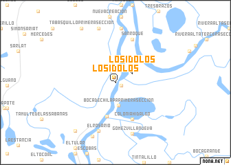
Los Idolos (Tabasco, Mexico)Los Idolos is a town in the Tabasco region of Mexico. An overview map of the region around Los Idolos is displayed below.
regional and 3d topo map of Los Idolos, Mexico ::
Los Idolos airports ::
The nearest airport is VSA - Villahermosa C P A Carlos Rovirosa Intl, located 33.8 km south west of Los Idolos.
Other airports nearby include CME - Ciudad Del Carmen Intl (101.8 km north east), TGZ - Tuxtla Gutierrez Angel Albino Corzo (192.8 km south), MTT - Minatitlan (202.5 km west), Nearby towns ::
Juan Morales (1.0km south east) //
Los Ídolos (3.0km north east) //
Boca de Chilapa Primera Sección (3.7km south) //
Chilapa Segunda Sección (5.7km south) //
Colonia Hidalgo (6.6km south east) //
San Roque (7.4km north) //
El Rosario (8.3km south) //
Goméz Villanueva (8.7km south) //
San Juan (8.8km north) //
San Juan (9.2km north) //
Chilapa Escoba Tercera Sección (9.5km south) //
Buenavista (10.0km south west) //
Tabasquillo Primera Sección (10.3km north west) //
[all distances 'as the bird flies' and approximate] 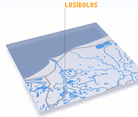 Places with similar names to Los Idolos, Mexico ::
// Los Tules (US)
// Las Dalias (CO)
// Las Tallas (CO)
// Les Dalias (CO)
// Los Tellez (CO)
// Los Toles (SV)
// Las Dalias (MX)
// Los Ídolos (MX)
// Los Ídolos (MX)
// Los Tules (MX)
Disclaimer :: Information on this page comes without warranty of any kind |
||
|
Where is Los Idolos? Elevation and coordinates ::
Latitude (lat): 18°16'15"N Longitude (lon): 92°40'30"W
Elevation (approx.): 1m (map arrows pan, magnifying glasses zoom) |
||
|
Visiting Los Idolos? Hotel/Accommodation ::
Book a hotel in Los Idolos Travel Guide ::
Buy a travel guide for Mexico rental cars ::
car rental offers GPS waypoint ::
download a GPX waypoint (PoI) of Los Idolos for your GPS receiver
|
||