|
search place name
|
||
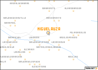
Miguel Auza (Zacatecas, Mexico)Miguel Auza is a town in the Zacatecas region of Mexico. An overview map of the region around Miguel Auza is displayed below.
regional and 3d topo map of Miguel Auza, Mexico ::
Miguel Auza airports ::
The nearest airport is DGO - Durango Intl, located 109.8 km north west of Miguel Auza.
Other airports nearby include ZCL - Zacatecas General Leobardo C Ruiz Intl (122.3 km south east), AGU - Aguascalientes Jesus Teran Intl (245.9 km south east), Nearby towns ::
La Parada (1.9km south) //
San Juan de la Tapia (5.0km south west) //
Orión (5.0km south west) //
La Concordia (5.0km south east) //
Santa Elena de Loberos (5.6km south) //
Lo de Mena (5.4km west) //
Rancho Peñita (5.8km north) //
Francisco Villa (6.5km north east) //
La Boquilla (6.5km north east) //
Buena Vista (6.5km south east) //
Ángeles Primero (7.0km east) //
El Carmen (9.4km south west) //
[all distances 'as the bird flies' and approximate] 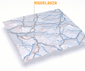 Places with similar names to Miguel Auza, Mexico ::
Disclaimer :: Information on this page comes without warranty of any kind |
||
|
Where is Miguel Auza? Elevation and coordinates ::
Latitude (lat): 23°33'0"N Longitude (lon): 103°39'0"W
Elevation (approx.): 2155m (map arrows pan, magnifying glasses zoom) |
||
|
Visiting Miguel Auza? Hotel/Accommodation ::
Book a hotel in Miguel Auza Travel Guide ::
Buy a travel guide for Mexico rental cars ::
car rental offers GPS waypoint ::
download a GPX waypoint (PoI) of Miguel Auza for your GPS receiver
|
||