|
search place name
|
||
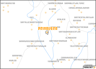
Primavera (Oaxaca, Mexico)Primavera is a town in the Oaxaca region of Mexico. An overview map of the region around Primavera is displayed below.
regional and 3d topo map of Primavera, Mexico ::
Primavera airports ::
The nearest airport is OAX - Oaxaca Xoxocotlan Intl, located 94.5 km east of Primavera.
Other airports nearby include PXM - Puerto Escondido Intl (127.6 km south east), TCN - Tehuacan (176.2 km north), HUX - Bahias Dehuatulco Bahias De Huatulco Intl (191.4 km south east), CVJ - Cuernavaca General Mariano Matamoros (275.3 km north west), Nearby towns ::
Imperio (1.7km north) //
Río Paloma (3.4km north east) //
Santiago Yosondúa (5.1km south east) //
Agua Tejocotes (6.4km west) //
Santa Cruz Itundujia (6.9km south west) //
Atalaya (7.0km north east) //
San Andrés Cabecera Nueva (7.1km south west) //
Santa Lucía Monteverde (7.2km north west) //
Santo Domingo Ixcatlán (8.1km east) //
Cañada Morelos (8.5km north) //
Yuyi (8.4km north west) //
Santa Catarina Yosonotu (8.7km north west) //
Chapultepec (9.0km north) //
[all distances 'as the bird flies' and approximate] 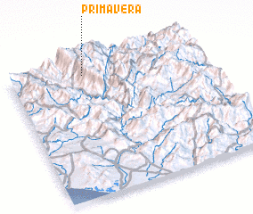 Places with similar names to Primavera, Mexico ::
Disclaimer :: Information on this page comes without warranty of any kind |
||
|
Where is Primavera? Elevation and coordinates ::
Latitude (lat): 16°54'55"N Longitude (lon): 97°36'33"W
Elevation (approx.): 2435m (map arrows pan, magnifying glasses zoom) |
||
|
Visiting Primavera? Hotel/Accommodation ::
Book a hotel in Primavera Travel Guide ::
Buy a travel guide for Mexico rental cars ::
car rental offers GPS waypoint ::
download a GPX waypoint (PoI) of Primavera for your GPS receiver
|
||