|
search place name
|
||
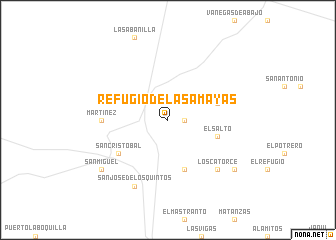
Refugio de las Amayas (San Luis Potosí, Mexico)Refugio de las Amayas is a town in the San Luis Potosí region of Mexico. An overview map of the region around Refugio de las Amayas is displayed below.
regional and 3d topo map of Refugio de las Amayas, Mexico ::
Refugio de las Amayas airports ::
The nearest airport is SLP - San Luis Potosi Ponciano Arriaga Intl, located 165.7 km south of Refugio de las Amayas.
Other airports nearby include SLW - Saltillo Plan De Guadalupe Intl (199.4 km north), ZCL - Zacatecas General Leobardo C Ruiz Intl (199.7 km south west), Nearby towns ::
Poblazón (1.7km east) //
Carretas (5.8km south) //
Palmas (5.4km east) //
El Salto (5.4km east) //
San Cristóbal (6.3km south west) //
Loreto (6.8km west) //
Martínez (6.8km west) //
Los Catorce (7.5km south east) //
San José de los Quintos (8.2km south west) //
San Miguel (8.8km south west) //
Catorce (8.8km south east) //
[all distances 'as the bird flies' and approximate] 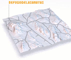 Places with similar names to Refugio de las Amayas, Mexico :: Disclaimer :: Information on this page comes without warranty of any kind |
||
|
Where is Refugio de las Amayas? Elevation and coordinates ::
Latitude (lat): 23°45'0"N Longitude (lon): 100°58'0"W
Elevation (approx.): 1805m (map arrows pan, magnifying glasses zoom) |
||
|
Visiting Refugio de las Amayas? Hotel/Accommodation ::
Book a hotel in Refugio de las Amayas Travel Guide ::
Buy a travel guide for Mexico rental cars ::
car rental offers GPS waypoint ::
download a GPX waypoint (PoI) of Refugio de las Amayas for your GPS receiver
|
||