|
search place name
|
||
San Alberto (Zacatecas, Mexico)San Alberto is a town in the Zacatecas region of Mexico. An overview map of the region around San Alberto is displayed below.
regional and 3d topo map of San Alberto, Mexico ::

San Alberto airports ::
The nearest airport is ZCL - Zacatecas General Leobardo C Ruiz Intl, located 121.1 km south of San Alberto.
Other airports nearby include DGO - Durango Intl (163.1 km west), TRC - Torreon Intl (183.9 km north), Nearby towns ::
San Ignacio (1.7km east) //
San Vicente (2.5km south west) //
Colonia Madero (3.7km south) //
Orán (3.9km north east) //
Santa Rosa (4.1km north east) //
Santa Rita (3.9km south east) //
El Refugio (5.0km south west) //
Alonso Medina (5.6km south west) //
José Santos Bañuelos (6.3km north west) //
Camino Rayado (6.3km north west) //
Lancón (6.5km south west) //
San Marcos (6.8km south west) //
El Redondo (7.3km east) //
Ancón (8.5km south west) //
San Roque (10.0km south west) //
[all distances 'as the bird flies' and approximate] 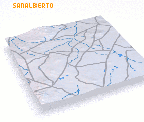 Places with similar names to San Alberto, Mexico ::
// San Liberato (IT)
// San Liberato (IT)
// San Alberto (CO)
// San Alberto (CO)
// San Alberto (MX)
// San Alberto (MX)
// San Alberto (MX)
// San Alberto (MX)
// San Alberto (PE)
// San Alberto (PY)
Disclaimer :: Information on this page comes without warranty of any kind |
||
|
Where is San Alberto? Elevation and coordinates ::
Latitude (lat): 23°58'0"N Longitude (lon): 102°56'0"W
Elevation (approx.): 1838m (map arrows pan, magnifying glasses zoom) |
||
|
Visiting San Alberto? Hotel/Accommodation ::
Book a hotel in San Alberto Travel Guide ::
Buy a travel guide for Mexico rental cars ::
car rental offers GPS waypoint ::
download a GPX waypoint (PoI) of San Alberto for your GPS receiver
|
||