|
search place name
|
||
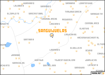
Sanguijuelas (Michoacán de Ocampo, Mexico)Sanguijuelas is a town in the Michoacán de Ocampo region of Mexico. An overview map of the region around Sanguijuelas is displayed below.
regional and 3d topo map of Sanguijuelas, Mexico ::
Sanguijuelas airports ::
The nearest airport is MLM - Morelia General Francisco J Mujica Intl, located 62.2 km south east of Sanguijuelas.
Other airports nearby include BJX - Del Bajio Guanajuato Intl (80.7 km north), ZMM - Zamora (92.3 km west), UPN - Uruapan Licenciado Y Gen Ignacio Lopez Rayon (115.8 km south west), QRO - Queretaro Intercontinental (135.0 km east), Nearby towns ::
El Pilar (2.9km south east) //
Las Cañas (3.8km north) //
Las Ranas (5.6km south) //
Casas Blancas (5.6km north) //
Sa José Huipena (5.5km west) //
Los Martínez (5.7km north east) //
Las Jícamas (6.1km east) //
San Antonio Carano (7.1km north west) //
Pegueros (7.3km north east) //
Las Barquillas (7.8km north) //
El Salitre (7.9km north) //
Cora (8.0km north west) //
Isaac Arriaga (8.0km west) //
Santa Ana (8.0km west) //
Cerrito Alto (9.0km north west) //
San Cristóbal (9.2km north west) //
El Sollozo (9.4km south east) //
El Chiqueo (9.8km north east) //
Tinaja de García (10.7km north east) //
[all distances 'as the bird flies' and approximate] 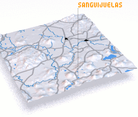 Places with similar names to Sanguijuelas, Mexico ::
// Sanguijuelas (MX)
// Sanguijuelas (VE)
Disclaimer :: Information on this page comes without warranty of any kind |
||
|
Where is Sanguijuelas? Elevation and coordinates ::
Latitude (lat): 20°16'0"N Longitude (lon): 101°25'30"W
Elevation (approx.): 1994m (map arrows pan, magnifying glasses zoom) |
||
|
Visiting Sanguijuelas? Hotel/Accommodation ::
Book a hotel in Sanguijuelas Travel Guide ::
Buy a travel guide for Mexico rental cars ::
car rental offers GPS waypoint ::
download a GPX waypoint (PoI) of Sanguijuelas for your GPS receiver
|
||