|
search place name
|
||
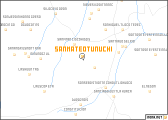
San Mateo Tunuchi (Oaxaca, Mexico)San Mateo Tunuchi is a town in the Oaxaca region of Mexico. An overview map of the region around San Mateo Tunuchi is displayed below.
regional and 3d topo map of San Mateo Tunuchi, Mexico ::
San Mateo Tunuchi airports ::
The nearest airport is TCN - Tehuacan, located 139.4 km north east of San Mateo Tunuchi.
Other airports nearby include OAX - Oaxaca Xoxocotlan Intl (150.5 km east), ACA - Acapulco General Juan N Alvarez Intl (192.4 km west), PBC - Puebla Hermanos Serdan Intl (196.4 km north), PXM - Puerto Escondido Intl (199.3 km south east), Nearby towns ::
Santa Cruz Yosondica (2.8km south east) //
San Francisco Higos (4.1km north west) //
San Sebastián Tecomaxtlahuaca (7.8km south east) //
Santiago Nuxaño (7.6km east) //
San Mateo del Río (8.2km north east) //
Santiago del Río (8.7km east) //
Santiago Juxtlahuaca (10.3km south east) //
San Miguel Tlacotepec (10.7km north east) //
La Escopeta (10.9km south west) //
[all distances 'as the bird flies' and approximate] 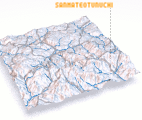 Places with similar names to San Mateo Tunuchi, Mexico :: Disclaimer :: Information on this page comes without warranty of any kind |
||
|
Where is San Mateo Tunuchi? Elevation and coordinates ::
Latitude (lat): 17°24'22"N Longitude (lon): 98°4'36"W
Elevation (approx.): 2072m (map arrows pan, magnifying glasses zoom) |
||
|
Visiting San Mateo Tunuchi? Hotel/Accommodation ::
Book a hotel in San Mateo Tunuchi Travel Guide ::
Buy a travel guide for Mexico rental cars ::
car rental offers GPS waypoint ::
download a GPX waypoint (PoI) of San Mateo Tunuchi for your GPS receiver
|
||