|
search place name
|
||
San Pedro del Almagre (Sonora, Mexico)San Pedro del Almagre is a town in the Sonora region of Mexico. An overview map of the region around San Pedro del Almagre is displayed below.
regional and 3d topo map of San Pedro del Almagre, Mexico ::

San Pedro del Almagre airports ::
The nearest airport is NOG - Nogales Intl, located 128.1 km north west of San Pedro del Almagre.
Other airports nearby include FHU - Fort Huachuca Sierra Vista Muni Libby Aaf (128.2 km north), HMO - Hermosillo General Ignacio P Garcia Intl (186.9 km south west), TUS - Tucson Intl (204.1 km north west), DMA - Tucson Davis Monthan Afb (206.7 km north west), Nearby towns ::
El Llano del Nogal (2.4km south west) //
Comatito (3.2km west) //
La Cieneguita (8.8km north west) //
[all distances 'as the bird flies' and approximate] 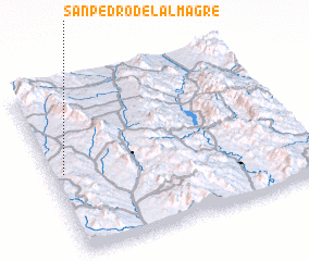 Places with similar names to San Pedro del Almagre, Mexico :: Disclaimer :: Information on this page comes without warranty of any kind |
||
|
Where is San Pedro del Almagre? Elevation and coordinates ::
Latitude (lat): 30°29'0"N Longitude (lon): 109°57'0"W
Elevation (approx.): 1103m (map arrows pan, magnifying glasses zoom) |
||
|
Visiting San Pedro del Almagre? Hotel/Accommodation ::
Book a hotel in San Pedro del Almagre Travel Guide ::
Buy a travel guide for Mexico rental cars ::
car rental offers GPS waypoint ::
download a GPX waypoint (PoI) of San Pedro del Almagre for your GPS receiver
|
||