|
search place name
|
||
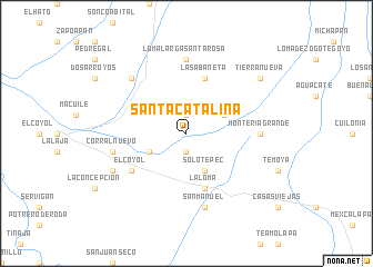
Santa Catalina (Veracruz-Llave, Mexico)Santa Catalina is a town in the Veracruz-Llave region of Mexico. An overview map of the region around Santa Catalina is displayed below.
regional and 3d topo map of Santa Catalina, Mexico ::
Santa Catalina airports ::
The nearest airport is MTT - Minatitlan, located 53.4 km east of Santa Catalina.
Other airports nearby include VER - Vera Cruz General Heriberto Jara Intl (160.4 km north west), OAX - Oaxaca Xoxocotlan Intl (215.9 km south west), Nearby towns ::
El Cántaro (1.9km south) //
Ojo de Agua (1.9km north) //
Solotepec (4.1km south east) //
Mata de Caña (4.0km north east) //
El Rincón (4.0km south west) //
La Loma (5.8km south) //
La Sabaneta (5.8km north) //
El Coyol (6.5km south west) //
Montería Grande (7.0km east) //
Loma Larga Santa Rosa (7.4km north) //
San Manuel (7.6km south) //
Corral Nuevo (7.3km west) //
Meapan (7.3km west) //
Barrosas (7.7km north west) //
Hueyapan de Ocampo (8.0km south west) //
Tierra Nueva (9.0km north east) //
[all distances 'as the bird flies' and approximate] 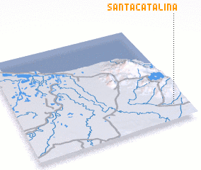 Places with similar names to Santa Catalina, Mexico ::
// Santa Catalina (PA)
// Santa Catalina (PA)
// Santa Catalina (PA)
// Śniadków Dolny (PL)
// Santa Catalina (CU)
// Santa Catalina (CU)
// Santa Catalina (CU)
// Santa Catalina (CU)
// Santa Catalina (CU)
// Santa Catalina (CU)
Disclaimer :: Information on this page comes without warranty of any kind |
||
|
Where is Santa Catalina? Elevation and coordinates ::
Latitude (lat): 18°9'0"N Longitude (lon): 95°5'0"W
Elevation (approx.): 79m (map arrows pan, magnifying glasses zoom) |
||
|
Visiting Santa Catalina? Hotel/Accommodation ::
Book a hotel in Santa Catalina Travel Guide ::
Buy a travel guide for Mexico rental cars ::
car rental offers GPS waypoint ::
download a GPX waypoint (PoI) of Santa Catalina for your GPS receiver
|
||