|
search place name
|
||
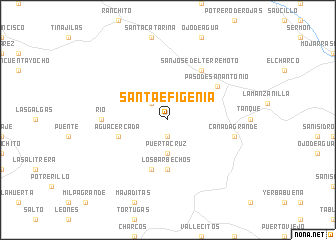
Santa Efigenia (San Luis Potosí, Mexico)Santa Efigenia is a town in the San Luis Potosí region of Mexico. An overview map of the region around Santa Efigenia is displayed below.
regional and 3d topo map of Santa Efigenia, Mexico ::
Santa Efigenia airports ::
The nearest airport is SLP - San Luis Potosi Ponciano Arriaga Intl, located 58.0 km north west of Santa Efigenia.
Other airports nearby include BJX - Del Bajio Guanajuato Intl (153.0 km south west), QRO - Queretaro Intercontinental (153.7 km south), TSL - Tamuin (169.8 km east), AGU - Aguascalientes Jesus Teran Intl (195.5 km west), Nearby towns ::
El Mosco (1.9km south) //
Atotonilco (2.5km north west) //
Puerta Cruz (3.7km south) //
Los Barbechos (5.6km south) //
Agua Cercada (5.5km west) //
La Negra (5.8km south) //
Buenavista (6.5km north east) //
San José del Terremoto (6.5km north east) //
Paso de San Antonio (6.3km north east) //
Río (6.9km west) //
Cañada Grande (7.1km east) //
[all distances 'as the bird flies' and approximate] 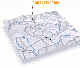 Places with similar names to Santa Efigenia, Mexico ::
// Santa Efigênia (BR)
// Santa Efigênia (BR)
// Santa Efigênia (BR)
// Santa Efigênia (BR)
// Sandvågen (NO)
// Santa Efigenia (CU)
// Santa Efigenia (SV)
// Santa Efigenia (MX)
// Santa Efigenia (MX)
// Santa Efigenia (MX)
Disclaimer :: Information on this page comes without warranty of any kind |
||
|
Where is Santa Efigenia? Elevation and coordinates ::
Latitude (lat): 21°59'0"N Longitude (lon): 100°27'0"W
Elevation (approx.): 1525m (map arrows pan, magnifying glasses zoom) |
||
|
Visiting Santa Efigenia? Hotel/Accommodation ::
Book a hotel in Santa Efigenia Travel Guide ::
Buy a travel guide for Mexico rental cars ::
car rental offers GPS waypoint ::
download a GPX waypoint (PoI) of Santa Efigenia for your GPS receiver
|
||