|
search place name
|
||
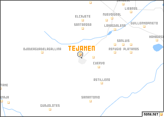
Tejamén (Durango, Mexico)Tejamén is a town in the Durango region of Mexico. An overview map of the region around Tejamén is displayed below.
regional and 3d topo map of Tejamén, Mexico ::
Tejamén airports ::
The nearest airport is DGO - Durango Intl, located 97.3 km south east of Tejamén.
Other airports nearby include TRC - Torreon Intl (193.3 km north east), MZT - Mazatlan General Rafael Buelna Intl (215.4 km south west), Nearby towns ::
San Rafael de Tejamén (2.4km east) //
Cuervo (4.0km south east) //
Santa Rosa (6.9km north) //
Astillero (7.1km south east) //
Refugio (7.0km east) //
San Juan (7.6km north east) //
El Cajete (8.7km north) //
La Magdalena (9.6km north east) //
Santa Ángela (10.2km north east) //
[all distances 'as the bird flies' and approximate] 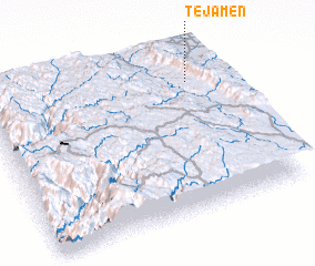 Places with similar names to Tejamén, Mexico ::
Disclaimer :: Information on this page comes without warranty of any kind |
||
|
Where is Tejamén? Elevation and coordinates ::
Latitude (lat): 24°48'18"N Longitude (lon): 105°8'6"W
Elevation (approx.): 2070m (map arrows pan, magnifying glasses zoom) |
||
|
Visiting Tejamén? Hotel/Accommodation ::
Book a hotel in Tejamén Travel Guide ::
Buy a travel guide for Mexico rental cars ::
car rental offers GPS waypoint ::
download a GPX waypoint (PoI) of Tejamén for your GPS receiver
|
||