|
search place name
|
||
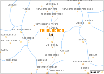
Tembladera (Oaxaca, Mexico)Tembladera is a town in the Oaxaca region of Mexico. An overview map of the region around Tembladera is displayed below.
regional and 3d topo map of Tembladera, Mexico ::
Tembladera airports ::
The nearest airport is OAX - Oaxaca Xoxocotlan Intl, located 54.4 km south east of Tembladera.
Other airports nearby include TCN - Tehuacan (126.8 km north west), PXM - Puerto Escondido Intl (174.9 km south), HUX - Bahias Dehuatulco Bahias De Huatulco Intl (198.7 km south), VER - Vera Cruz General Heriberto Jara Intl (203.6 km north east), Nearby towns ::
La Cueva (1.4km west) //
Boca de León (1.9km south) //
El Moral (2.4km north) //
Las Trancas (3.7km south) //
Cieneguilla (4.1km north west) //
Santa María Yolotepec (4.1km north west) //
Plan Seco (7.2km south east) //
La Carbonera (7.4km south) //
Santiago Nacaltepec (7.4km north) //
Santa María Texcotepec (7.5km north west) //
Faustino G. Olivera (8.0km west) //
El Progreso (8.5km west) //
[all distances 'as the bird flies' and approximate] 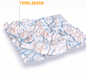 Places with similar names to Tembladera, Mexico ::
// Tembladera (PA)
// Tembladera (PA)
// Tembladera (CU)
// Tembladera (CU)
// Damladere (TR)
// Dembal Doro (ET)
// Tembladera (CO)
// Tembladera (MX)
// Demaladora (LK)
// Tembladera (HN)
Disclaimer :: Information on this page comes without warranty of any kind |
||
|
Where is Tembladera? Elevation and coordinates ::
Latitude (lat): 17°27'0"N Longitude (lon): 96°56'0"W
Elevation (approx.): 2210m (map arrows pan, magnifying glasses zoom) |
||
|
Visiting Tembladera? Hotel/Accommodation ::
Book a hotel in Tembladera Travel Guide ::
Buy a travel guide for Mexico rental cars ::
car rental offers GPS waypoint ::
download a GPX waypoint (PoI) of Tembladera for your GPS receiver
|
||