|
search place name
|
||
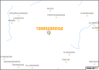
Tomás Garrido (Chiapas, Mexico)Tomás Garrido is a town in the Chiapas region of Mexico. An overview map of the region around Tomás Garrido is displayed below.
regional and 3d topo map of Tomás Garrido, Mexico ::
Tomás Garrido airports ::
The nearest airport is TGZ - Tuxtla Gutierrez Angel Albino Corzo, located 75.9 km north of Tomás Garrido.
Other airports nearby include TAP - Tapachula Intl (152.1 km south east), Nearby towns ::
Francisco Murguia (7.2km north) //
El Pedregal (10.5km south east) //
[all distances 'as the bird flies' and approximate] 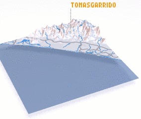 Places with similar names to Tomás Garrido, Mexico ::
// Tameskourt (MA)
// Tamzgourt (MA)
// Tamskrat (MA)
// Damsgård (NO)
// Tomás Garrido (MX)
// Tomás Garrido (MX)
// Tamzguert (MA)
// Timiskert (MA)
// Tameskourt (MA)
// Tomasgård (SE)
Disclaimer :: Information on this page comes without warranty of any kind |
||
|
Where is Tomás Garrido? Elevation and coordinates ::
Latitude (lat): 15°54'0"N Longitude (lon): 93°12'40"W
Elevation (approx.): 968m (map arrows pan, magnifying glasses zoom) |
||
|
Visiting Tomás Garrido? Hotel/Accommodation ::
Book a hotel in Tomás Garrido Travel Guide ::
Buy a travel guide for Mexico rental cars ::
car rental offers GPS waypoint ::
download a GPX waypoint (PoI) of Tomás Garrido for your GPS receiver
|
||