|
search place name
|
||
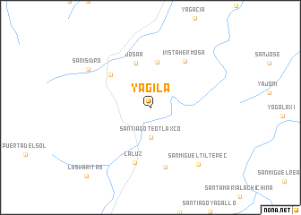
Yagila (Oaxaca, Mexico)Yagila is a town in the Oaxaca region of Mexico. An overview map of the region around Yagila is displayed below.
regional and 3d topo map of Yagila, Mexico ::
Yagila airports ::
The nearest airport is OAX - Oaxaca Xoxocotlan Intl, located 75.1 km south west of Yagila.
Other airports nearby include TCN - Tehuacan (150.6 km north west), VER - Vera Cruz General Heriberto Jara Intl (174.0 km north), MTT - Minatitlan (197.9 km east), HUX - Bahias Dehuatulco Bahias De Huatulco Intl (200.4 km south), Nearby towns ::
Santiago Teotlaxco (3.7km south) //
La Esperanza (5.7km north) //
Josaa (5.8km north) //
Cuazimulco (6.2km north west) //
Vista Hermosa (7.0km north east) //
La Luz (7.2km south) //
Santa Cruz Yagavila (7.6km south) //
San Isidro (8.8km north west) //
San Miguel Tiltepec (9.1km south east) //
Las Varitas (11.4km south west) //
[all distances 'as the bird flies' and approximate] 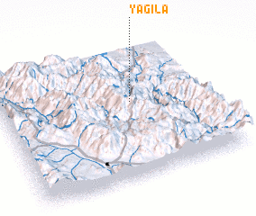 Places with similar names to Yagila, Mexico ::
Disclaimer :: Information on this page comes without warranty of any kind |
||
|
Where is Yagila? Elevation and coordinates ::
Latitude (lat): 17°35'0"N Longitude (lon): 96°22'0"W
Elevation (approx.): 1295m (map arrows pan, magnifying glasses zoom) |
||
|
Visiting Yagila? Hotel/Accommodation ::
Book a hotel in Yagila Travel Guide ::
Buy a travel guide for Mexico rental cars ::
car rental offers GPS waypoint ::
download a GPX waypoint (PoI) of Yagila for your GPS receiver
|
||