|
search place name
|
||
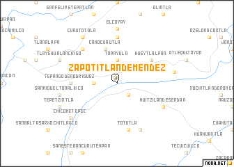
Zapotitlán de Méndez (Puebla, Mexico)Zapotitlán de Méndez is a town in the Puebla region of Mexico. An overview map of the region around Zapotitlán de Méndez is displayed below.
regional and 3d topo map of Zapotitlán de Méndez, Mexico ::
Zapotitlán de Méndez airports ::
The nearest airport is TXA - Tlaxcala, located 67.7 km south west of Zapotitlán de Méndez.
Other airports nearby include PAZ - Poza Rico Tajin (73.2 km north east), PCA - Pachuca Ingeniero Juan Guillermo Villasana (108.4 km west), PBC - Puebla Hermanos Serdan Intl (113.7 km south west), MEX - Mexico City Licenciado Benito Juarez Intl (152.0 km south west), Nearby towns ::
Zongozotla (2.5km south east) //
Agua Bendita (3.5km west) //
Tapayula (3.7km north) //
Camocuautla (5.8km north) //
Hueytlalpan (6.4km north east) //
Coatepec (7.4km north) //
Tepango de Rodríguez (7.0km west) //
Totutla (7.6km south) //
Amixtlán (7.6km north west) //
San Miguel Acateno (8.2km south east) //
Huitzilán de Serdán (7.9km south east) //
El Coyay (8.8km north) //
Cuautotola (9.1km north west) //
Chicometepec (8.9km south west) //
[all distances 'as the bird flies' and approximate] 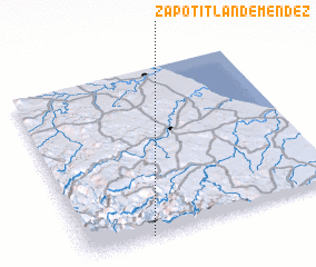 Places with similar names to Zapotitlán de Méndez, Mexico :: Disclaimer :: Information on this page comes without warranty of any kind |
||
|
Where is Zapotitlán de Méndez? Elevation and coordinates ::
Latitude (lat): 20°0'0"N Longitude (lon): 97°45'0"W
Elevation (approx.): 1212m (map arrows pan, magnifying glasses zoom) |
||
|
Visiting Zapotitlán de Méndez? Hotel/Accommodation ::
Book a hotel in Zapotitlán de Méndez Travel Guide ::
Buy a travel guide for Mexico rental cars ::
car rental offers GPS waypoint ::
download a GPX waypoint (PoI) of Zapotitlán de Méndez for your GPS receiver
|
||