|
search place name
|
||
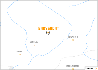
Sarysogat (Kyrgyzstan)Sarysogat is a town in Kyrgyzstan. An overview map of the region around Sarysogat is displayed below.
regional and 3d topo map of Sarysogat, Kyrgyzstan ::
Sarysogat airports ::
The nearest airport is OSS - Osh, located 154.5 km south of Sarysogat.
Other airports nearby include FRU - Bishkek Manas (157.7 km north east), DMB - Dzhambul Taraz (191.4 km north west), Nearby towns ::
Belʼaldy (5.6km south west) //
[all distances 'as the bird flies' and approximate] 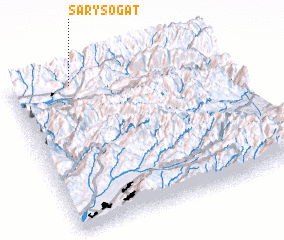 Places with similar names to Sarysogat, Kyrgyzstan ::
// Sarısöğüt (TR)
// Sırasöğüt (TR)
// Saraskāti (BD)
// Sierscheid (DE)
// Sohrschied (DE)
// Ser-Sigaud (FR)
Disclaimer :: Information on this page comes without warranty of any kind |
||
|
Where is Sarysogat? Elevation and coordinates ::
Latitude (lat): 41°57'0"N Longitude (lon): 73°17'0"E
Elevation (approx.): 1542m (map arrows pan, magnifying glasses zoom) |
||
|
Visiting Sarysogat? Hotel/Accommodation ::
Book a hotel in Sarysogat Travel Guide ::
Buy a travel guide for Kyrgyzstan rental cars ::
car rental offers GPS waypoint ::
download a GPX waypoint (PoI) of Sarysogat for your GPS receiver
|
||