|
search place name
|
||
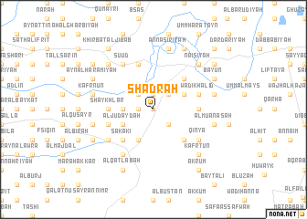
Shadrah (Liban-Nord, Lebanon)Shadrah is a town in the Liban-Nord region of Lebanon. An overview map of the region around Shadrah is displayed below.
regional and 3d topo map of Shadrah, Lebanon ::
Shadrah airports ::
The nearest airport is LTK - Latakia Bassel Al Assad Intl, located 93.3 km north of Shadrah.
Other airports nearby include BEY - Beirut Rafic Hariri Intl (116.7 km south west), DAM - Damascus Intl (135.0 km south), ALP - Aleppo Intl (192.1 km north east), RPN - Rosh Pina Mahanaim I Ben Yaakov (194.1 km south), Nearby towns ::
Mashtá Ḩasan (0.0km north) //
Al Khālişah (1.9km north) //
Qubūr al Bīḑ (1.5km west) //
Khawjā Bustān (1.5km west) //
Mashtá Ḩammūd (2.4km north east) //
Jiwā al ‘Arab (2.4km north east) //
Al ‘Uwaynāt (2.4km north west) //
As Sahlah (2.4km south east) //
Khirbat ar Rummān (3.1km west) //
Al Muqaybilah (3.6km north east) //
Al Judaydah (3.6km south west) //
‘Aydamūn (3.6km south west) //
‘Andaqat (4.0km south) //
Mushayrifat al Jabal (4.8km north east) //
Mcheïrefé see Mushayrifat al Jabal (4.8km north east) //
Marāḩ al Basātīn (4.8km south east) //
Marāḩ al Khawkh (4.8km south east) //
Sakākī (4.8km south west) //
Mār Tmūrā (4.8km south west) //
Ar Rimmāḩ (4.6km west) //
Shaykhlar (4.6km west) //
Qal‘at al Burj (4.6km east) //
Wādī Khālid (4.9km east) //
‘Arīḑah (5.8km north) //
Mighrāqah (4.9km west) //
An Nahrīyah (4.9km west) //
Su‘ūd (6.3km north west) //
Qubayyāt al Bharbīyah (5.9km south west) //
Al Qbayyāt (6.3km south west) //
[all distances 'as the bird flies' and approximate] 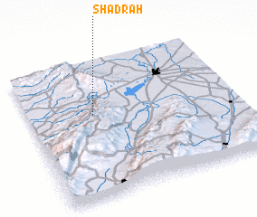 Places with similar names to Shadrah, Lebanon ::
Disclaimer :: Information on this page comes without warranty of any kind |
||
|
Where is Shadrah? Elevation and coordinates ::
Latitude (lat): 34°37'0"N Longitude (lon): 36°19'0"E
Elevation (approx.): 476m (map arrows pan, magnifying glasses zoom) |
||
|
Visiting Shadrah? Hotel/Accommodation ::
Book a hotel in Shadrah Travel Guide ::
Buy a travel guide for Lebanon rental cars ::
car rental offers GPS waypoint ::
download a GPX waypoint (PoI) of Shadrah for your GPS receiver
|
||