|
search place name
|
||
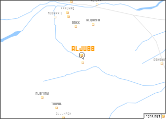
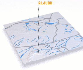
Al Jubb (Saudi Arabia)Al Jubb is a town in Saudi Arabia. An overview map of the region around Al Jubb is displayed below.
regional and 3d topo map of Al Jubb, Saudi Arabia ::
Al Jubb airports ::
The nearest airport is HAS - Hail, located 65.5 km north west of Al Jubb.
Other airports nearby include ELQ - Gassim (177.5 km south east), Nearby towns ::
 Places with similar names to Al Jubb, Saudi Arabia ::
// Al Jawb (IQ)
// Aljube (ES)
// Allāh Jābū (SD)
// Allāh Jābū (SD)
// Al Jawbah (SY)
// Al Jawbah (SY)
// Al Jibā‘ī (OM)
// Älgebo (SE)
// Al Jabī (YE)
// Al Jābih (YE)
Disclaimer :: Information on this page comes without warranty of any kind |
||
|
Where is Al Jubb? Elevation and coordinates ::
Latitude (lat): 27°11'0"N Longitude (lon): 42°17'0"E
Elevation (approx.): 1029m (map arrows pan, magnifying glasses zoom) |
||
|
Visiting Al Jubb? Hotel/Accommodation ::
Book a hotel in Al Jubb Travel Guide ::
rental cars ::
car rental offers GPS waypoint ::
download a GPX waypoint (PoI) of Al Jubb for your GPS receiver
|
||