|
search place name
|
||
Al Ma‘āzil (Saudi Arabia)Al Ma‘āzil is a town in Saudi Arabia. An overview map of the region around Al Ma‘āzil is displayed below.
regional and 3d topo map of Al Ma‘āzil, Saudi Arabia ::

Al Ma‘āzil airports ::
The nearest airport is HAS - Hail, located 76.3 km north west of Al Ma‘āzil.
Other airports nearby include ELQ - Gassim (175.1 km east), Nearby towns ::
Al Bīr (2.9km north) //
Al Muḑayyiḩ (4.4km west) //
Aş Şafrāʼ (5.7km south) //
Dighnūn (5.8km north west) //
Rī‘ Taqrīb (6.6km west) //
[all distances 'as the bird flies' and approximate] 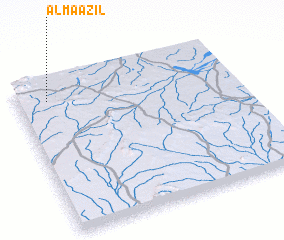 Places with similar names to Al Ma‘āzil, Saudi Arabia ::
// Al Muşallá (BH)
// Almsloh (DE)
// Almăşel (RO)
// Alemşahlı (TR)
// Almazul (ES)
// Al Masīlah (KW)
// Al Masīl (LY)
// Al Maşlā (SY)
// Al Muşallá (SY)
// Al Mawşil (IQ)
Disclaimer :: Information on this page comes without warranty of any kind |
||
|
Where is Al Ma‘āzil? Elevation and coordinates ::
Latitude (lat): 26°52'47"N Longitude (lon): 42°8'16"E
Elevation (approx.): 1058m (map arrows pan, magnifying glasses zoom) |
||
|
Visiting Al Ma‘āzil? Hotel/Accommodation ::
Book a hotel in Al Ma‘āzil Travel Guide ::
rental cars ::
car rental offers GPS waypoint ::
download a GPX waypoint (PoI) of Al Ma‘āzil for your GPS receiver
|
||