|
search place name
|
||
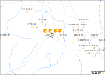
Ash Sha‘af (Saudi Arabia)Ash Sha‘af is a town in Saudi Arabia. An overview map of the region around Ash Sha‘af is displayed below.
regional and 3d topo map of Ash Sha‘af, Saudi Arabia ::
Ash Sha‘af airports ::
The nearest airport is ABT - El-baha Al Baha, located 39.1 km north east of Ash Sha‘af.
Other airports nearby include BHH - Bisha (133.3 km east), TIF - Taif (177.9 km north west), AHB - Abha (244.5 km south east), Nearby towns ::
Dheib (1.7km west) //
Al ‘Afus (1.7km east) //
Al Mahamid (1.7km west) //
Karīnah (3.5km east) //
Rusibah (6.6km north west) //
As Sufh (6.4km north west) //
Musaghir (7.2km east) //
Rahwat al Barr (7.2km east) //
Al Jith (7.9km north east) //
Āl Musá (7.9km north east) //
Az Zarqāʼ (7.9km north west) //
Ash Shashi (7.9km north east) //
Al Mindak (7.9km north west) //
[all distances 'as the bird flies' and approximate] 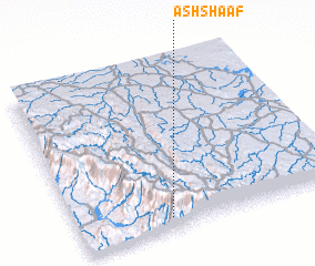 Places with similar names to Ash Sha‘af, Saudi Arabia ::
// Ash Shafā (SA)
// Ash Shufayyah (SA)
// Ash Shawwāf (SD)
// Ash Sha‘fah (SY)
// Ash Sha‘afah (SA)
// Ash Shifāʼ (SA)
// Ash Shuaf (YE)
Disclaimer :: Information on this page comes without warranty of any kind |
||
|
Where is Ash Sha‘af? Elevation and coordinates ::
Latitude (lat): 20°4'0"N Longitude (lon): 41°21'0"E
Elevation (approx.): 2176m (map arrows pan, magnifying glasses zoom) |
||
|
Visiting Ash Sha‘af? Hotel/Accommodation ::
Book a hotel in Ash Sha‘af Travel Guide ::
rental cars ::
car rental offers GPS waypoint ::
download a GPX waypoint (PoI) of Ash Sha‘af for your GPS receiver
|
||